★ 1 · last edited Dec 11, 2019
Ain
Contributionsversion #1created Dec 11, 2019Report this pageLatest contributions in this guideContributors to this guide
Location verified location
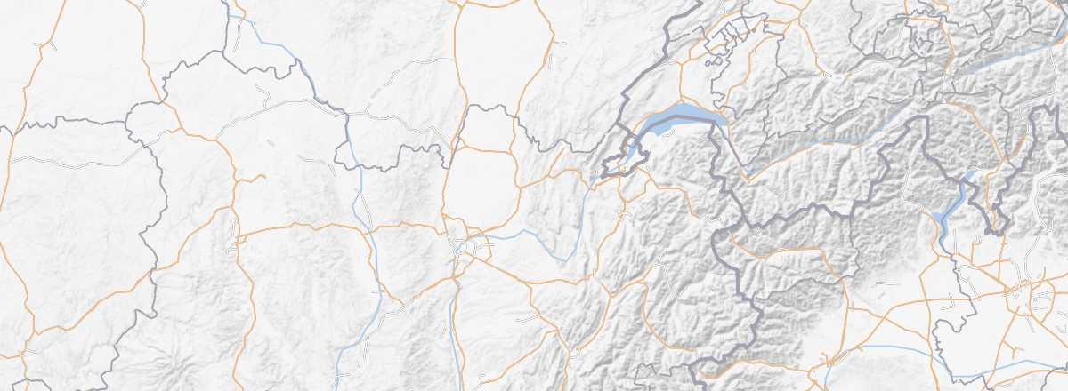 Ain
Open the interactive map
Ain
Open the interactive map
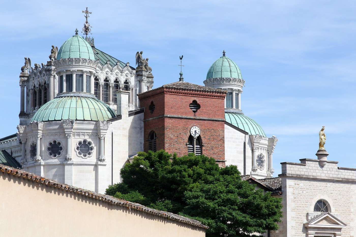
The department is not the most tourist-heavy in the region. However, it offers a few historical sites (various châteaux, Fort l'Écluse, the medieval town of Pérouges...), a well-known pilgrimage site (Basilica of Ars), as well as several natural attractions, the most visited being the Parc des Oiseaux in the heart of the Dombes.
Overview of Ain
Key facts
- Type of place: department.
- Location:
- Local time:
- Department code: 01.
- Bordering departments:
- Prefecture: Bourg-en-Bresse.
- Sub-prefectures: Belley, Gex, Nantua.
- Number of municipalities: 408.
- Population: 626,127 (2014)
- Area: 5,762 km².
- Density: 109 inhabitants/km².
- Highest point: Crêt de la Neige (1,720 m).
- Lowest point:
- Coastline: 0 km, no maritime access.
- Highlights (out of ): Nature ; Culture ; Relaxation-holidays /
- Website: https://www.ain-tourisme.com
Climate and weather
Tourism
The department is not the most tourist-heavy in the region. However, it offers a few historical sites (various châteaux, Fort l'Écluse, the medieval town of Pérouges...), a well-known pilgrimage site (Basilica of Ars), as well as several natural attractions, the most visited being the Parc des Oiseaux in the heart of the Dombes.