★ 1 · last edited Dec 11, 2019
Allier
Contributionsversion #1created Dec 11, 2019Report this pageLatest contributions in this guideContributors to this guide
Location verified location
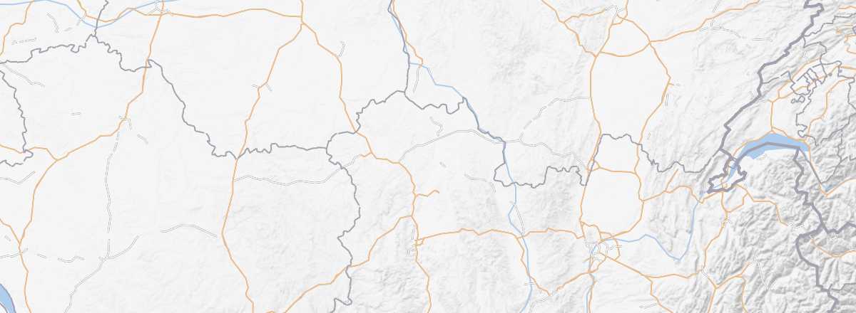 Allier
Open the interactive map
Allier
Open the interactive map
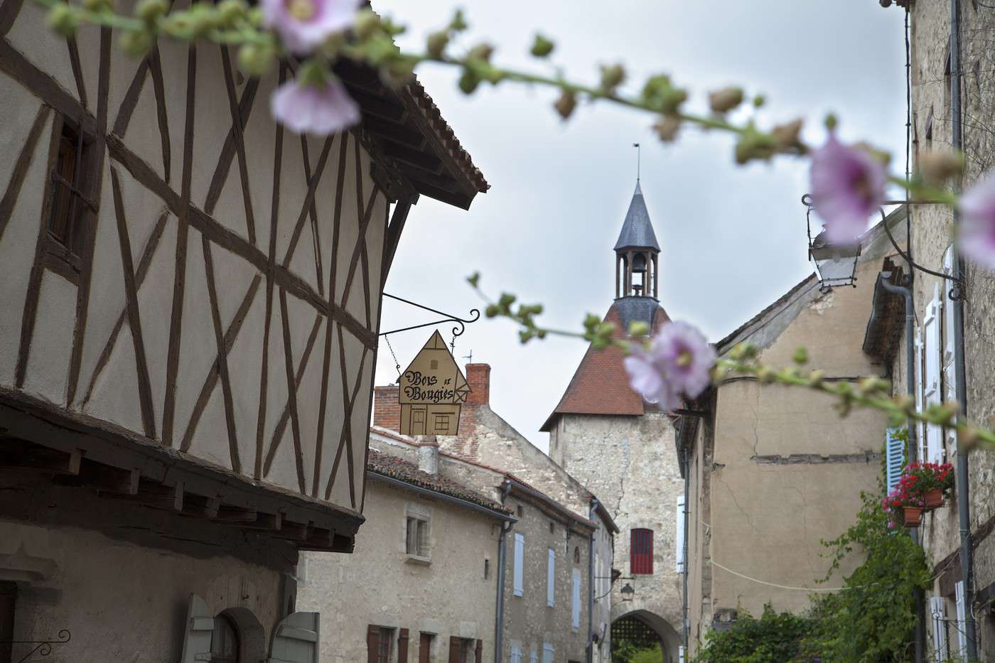
Allier is a department of rivers, hedgerows, and low mountains, perfect for those who love the countryside. It also offers historical remnants (castles, churches) and interesting urban centers (Moulins, Montluçon, etc.). Allier is also a spa destination, with Vichy as its foremost town.
Overview of Allier
Key Facts
- Type of place: department.
- Tourist interest: (worth a stop if you are in the area).
- Location:
- Local time:
- Department code: 03.
- Bordering departments:
- Prefecture: Moulins.
- Sub-prefectures: Montluçon, Vichy.
- Number of communes: 317.
- Population: 343,062 inhabitants (2014).
- Area: 7,340 km².
- Highest point: Puy de Montoncel (1,287 m).
- Lowest point:
- Coastline: 0 km; no maritime access.
- Highlights (out of ): Nature ; Culture / ; Relaxation-holidays
Climate and Weather
Tourism
Allier is a department of rivers, hedgerows, and low mountains, perfect for those who love the countryside. It also offers historical remnants (castles, churches) and interesting urban centers (Moulins, Montluçon, etc.). Allier is also a spa destination, with Vichy as its foremost town.