★ 2 · last edited Dec 11, 2019
Allier Gorge
Location verified location
 Allier Gorge
Open the interactive map
Allier Gorge
Open the interactive map
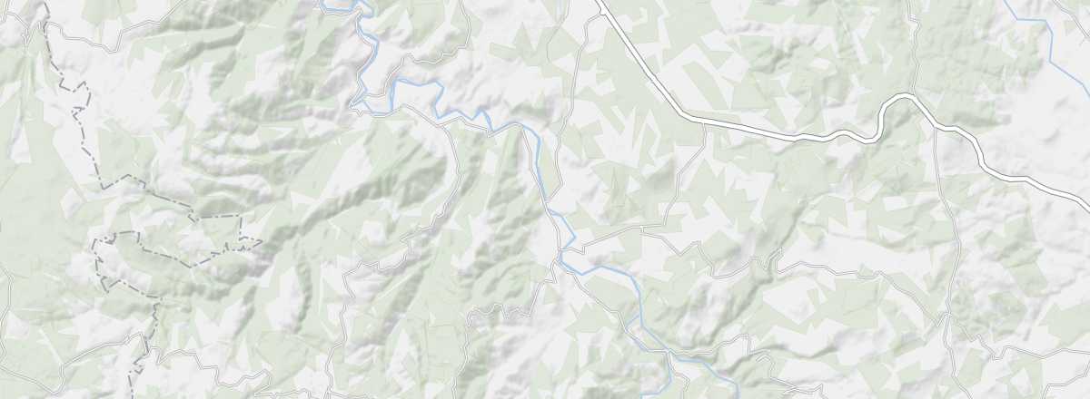
This canyon carved by the Allier River spans both Lozère and Haute-Loire. You can explore its landscapes and the villages along its banks (Saint-Ilpize, Lavoûte-Chilhac, etc.) by road or on a tourist train. The gorges are also ideal for hiking and canoeing.
Overview of the gorge
This canyon carved by the Allier River spans both Lozère and Haute-Loire. You can explore its landscapes and the villages along its banks (Saint-Ilpize, Lavoûte-Chilhac, etc.) by road or on a tourist train. The gorges are also ideal for hiking and canoeing.
- Tourist interest: (worth seeing).
- Features:
- Length:
- Depth:
- Altitude:
Site environment
Wildlife and flora
Climate and weather
Precautions
What to see and do
Practical information
- Location:
- Website: http://www.gorges-allier.com
- How to get there:
- Distances: