★ 1 · last edited Dec 11, 2019
Arkansas
Contributionsversion #1created Dec 11, 2019Report this pageLatest contributions in this guideContributors to this guide
Location verified location
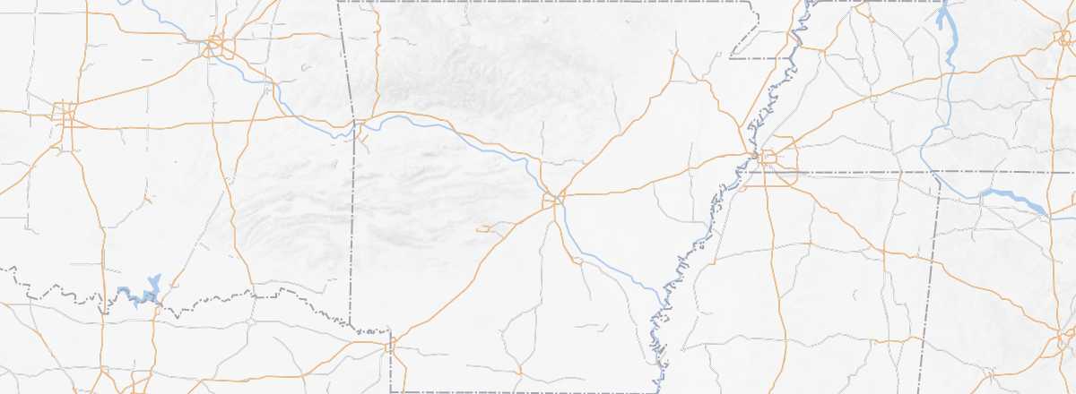 Arkansas
Open the interactive map
Arkansas
Open the interactive map
While not a "must-see" in the region, the state of Arkansas offers a rather pretty landscape and opportunities for outdoor activities like canoeing and, especially, all kinds of hikes in sites such as the Ozark Mountains or the Ouachita National Forest.
Overview
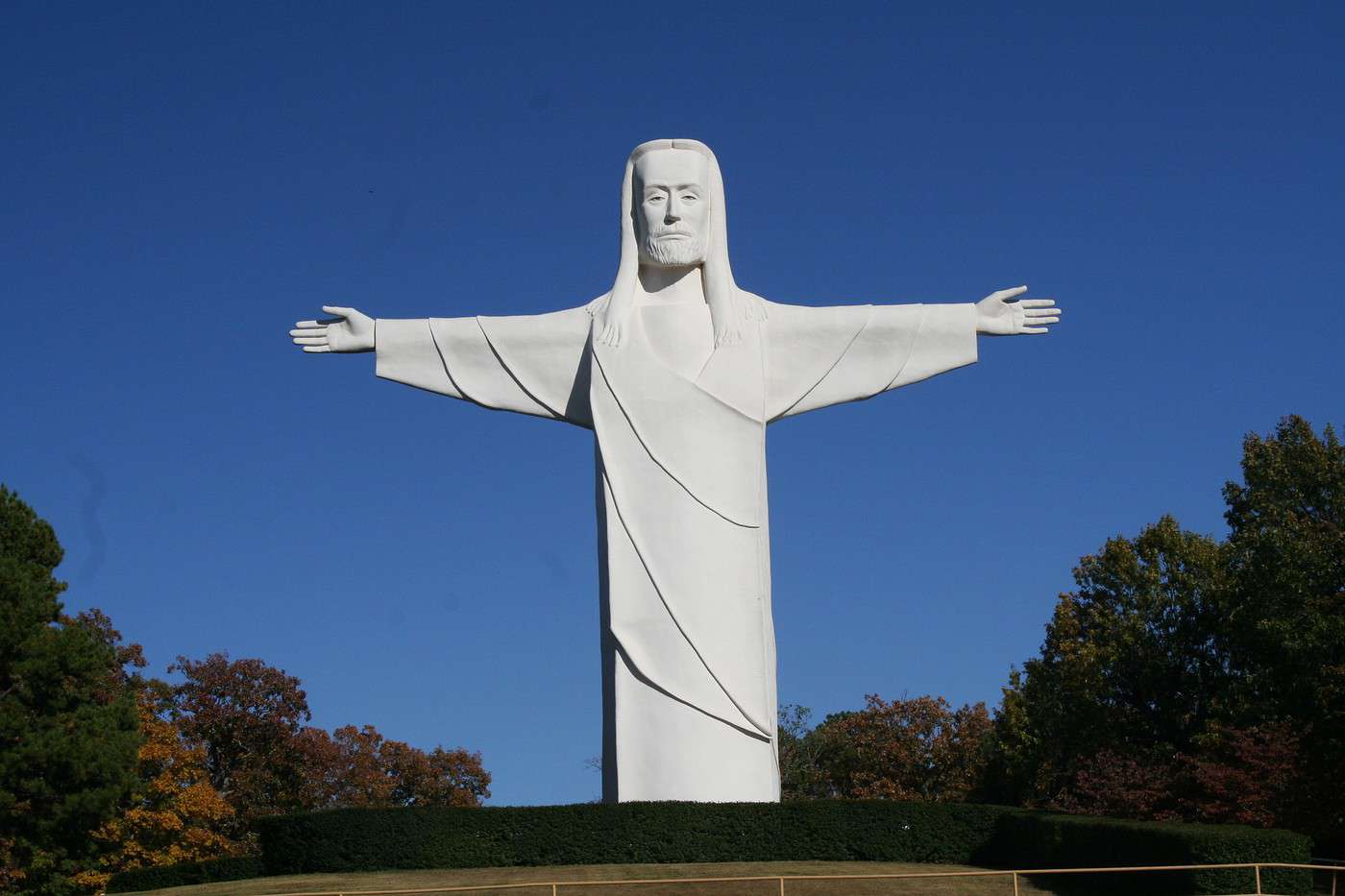
While not a "must-see" in the region, the largely rural state of Arkansas offers quite a pretty landscape and opportunities for outdoor activities like canoeing and, above all, all kinds of hikes in sites such as the Ozark Mountains or the Ouachita National Forest.
Key facts
- Type of place: state.
- Code: AR
- Entry into the Union: 1836 (25th).
- Local time: .
- Capital: Little Rock.
- Main cities: Little Rock, Fort Smith, Fayetteville...
- Population: 2,978,000 inhabitants (2015).
- Area: 137,732 km².
- Density: 21.5 inhabitants/km².
- Highest point: Magazine Mountain (839 m).
- Lowest point: Ouachita River (17 m).
- Coastline: 0 km as there is no maritime access.
- Interests (out of ): Nature-adventure / ; Culture ; Relaxation-holidays / .
- Website: http://www.arkansas.com