★ 2 · last edited Apr 29, 2020
Bastille Hill
Location verified location
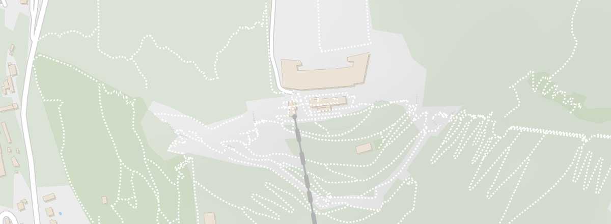 Bastille Hill
Open the interactive map
Bastille Hill
Open the interactive map
You can reach it from the city centre via a cable car that dates back to 1934. The hill is home to an early 19th-century fort, the Mandrin Caves (used for military purposes), the Mountain Troops Museum, the Dauphins Garden, a long-distance hiking trail (GR), and a lovely panoramic view of Grenoble and its surroundings.
Overview of Bastille Hill
You can reach it from the city centre via a cable car that dates back to 1934. The hill is home to an early 19th-century fort, the Mandrin Caves (used for military purposes), the Mountain Troops Museum, the Dauphins Garden, a long-distance hiking trail (GR), and a lovely panoramic view of Grenoble and its surroundings.
Key Details
- Type of place: mountain.
- Tourist interest: (worth seeing).
- Location:
- Local time: .
- Features:
- Summit: 491 m.
- Website:
Surroundings of Bastille Hill
Wildlife and flora
Precautions
What to see and do
Nearby
Transport
Getting there
Getting around
Sleep
Eat
- == Additional Information