★ 1 · last edited Dec 11, 2019
Calenzana
Contributionsversion #1created Dec 11, 2019Report this pageLatest contributions in this guideContributors to this guide
Location verified location
 Calenzana
Open the interactive map
Calenzana
Open the interactive map
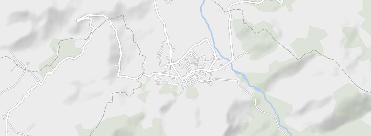
South of Calvi, on the edge of the Regional Natural Park of Corsica, this is the starting point of the famous GR20, known to all hikers. The area is also home to the remains of old lead mines.
Overview of Calenzana
South of Calvi, on the edge of the Regional Natural Park of Corsica, Calenzana marks the start of the famous GR20, known to all hikers. The area is also home to the remains of old lead mines.
Key facts
- Type of place: village.
- Tourist interest: (worth a stop if you are in the area).
- Location: south of Calvi, in the Haute-Corse department.
- Distances:
- Local time: .
- Population: 2,323 inhabitants (2016).
- Area: 182.77 km².
- Altitude: from 0 to 2,148 m.
- Website:
History of Calenzana
What to see and do in Calenzana
Argentella Mines
These are the last remnants of silver-lead and copper mines dating from the 19th century.
These are the last remnants of silver-lead and copper mines dating from the 19th century.
In the surrounding area
Corsica Regional Nature Park
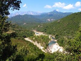
Spanning both departments, this park covers nearly half the island. Heavily visited, it is home to many Corsican natural and cultural sites. It is also where the famous GR20 was created, allowing hikers to cross the island in about fifteen days over 200 km from Calenzana to Conca.
Spanning both departments, this park covers nearly half the island. Heavily visited, it is home to many Corsican natural and cultural sites. It is also where the famous GR20 was created, allowing hikers to cross the island in about fifteen days over 200 km from Calenzana to Conca.
Climate and weather in Calenzana
Transport
Getting there
Getting around
Accommodation
Eating
Useful addresses
Further information
Must-see & highly recommended
Corsica Regional Nature Park
★★★★ Spanning both departments, this park covers nearly half the island. Heavily visited, it is home to many Corsican natural and cultural…
Worth a look / Other
Argentella Mines
★ These are the last remnants of silver-lead and copper mines dating from the 19th century.