★ 1 · last edited Dec 11, 2019
Connecticut
Contributionsversion #1created Dec 11, 2019Report this pageLatest contributions in this guideContributors to this guide
Location verified location
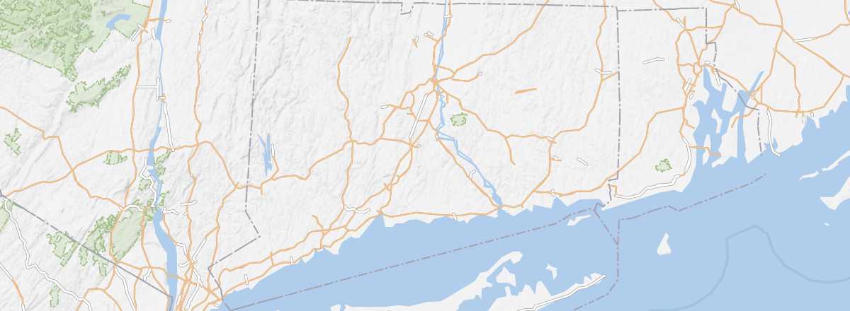 Connecticut
Open the interactive map
Connecticut
Open the interactive map
Bordering New York State, Connecticut—or at least its western part—is essentially one of the outer suburbs of New York City, with one of the highest population densities of any U.S. state (nearly 300 inhabitants per km²). It is also one of the least touristy states, despite a few points of interest, including the Berkshire Hills, well-known among hikers.
Overview

Bordering New York State, Connecticut—or at least its western part—is essentially one of the outer residential suburbs of New York City, with one of the highest population densities of any U.S. state (nearly 300 inhabitants per km²). Besides being among the wealthiest, it is also one of the least touristy states, despite a few points of interest, including the Berkshire Hills popular with hikers.
Key Facts
- Type of place: state.
- Location: Just above New York State, along the Atlantic.
- Code: CT
- Entry into the Union: 1788 (5th).
- Local time: .
- Capital: Hartford.
- Major cities: Bridgeport, New Haven, Stamford...
- Population: 3,597,000 inhabitants (2014).
- Area: 14,357 km².
- Density: 285 inhabitants/km².
- Highest point: Mount Frissell (725 m).
- Lowest point: Sea level.
- Coastline:
- Interests (out of ): Nature-adventure ; Culture ; Relaxation-holidays .
- Website: http://www.visitconnecticut.com