★ 2 · last edited Dec 11, 2019
Doubs
Contributionsversion #1created Dec 11, 2019Report this pageLatest contributions in this guideContributors to this guide
Location verified location
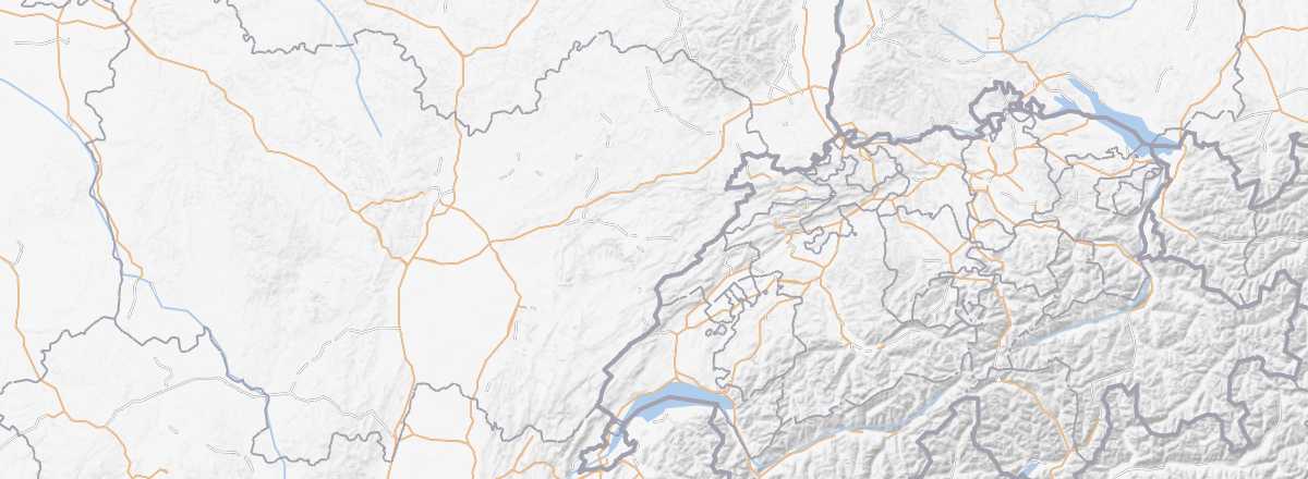 Doubs
Open the interactive map
Doubs
Open the interactive map
The Doubs is a family-friendly destination focused on rural tourism and ecotourism. You can discover beautiful valley landscapes, various caves (including the Poudrey Caves), the Doubs Gorges, and part of the Haut-Jura Nature Park, where you can hike or ski. The area also features castles, abbeys, charming towns (Ornans, Lods...), and the UNESCO-listed Royal Saltworks of Arc-et-Senans.
Overview
Key facts
- Type of place: department.
- Location:
- Department code: 25.
- Bordering departments:
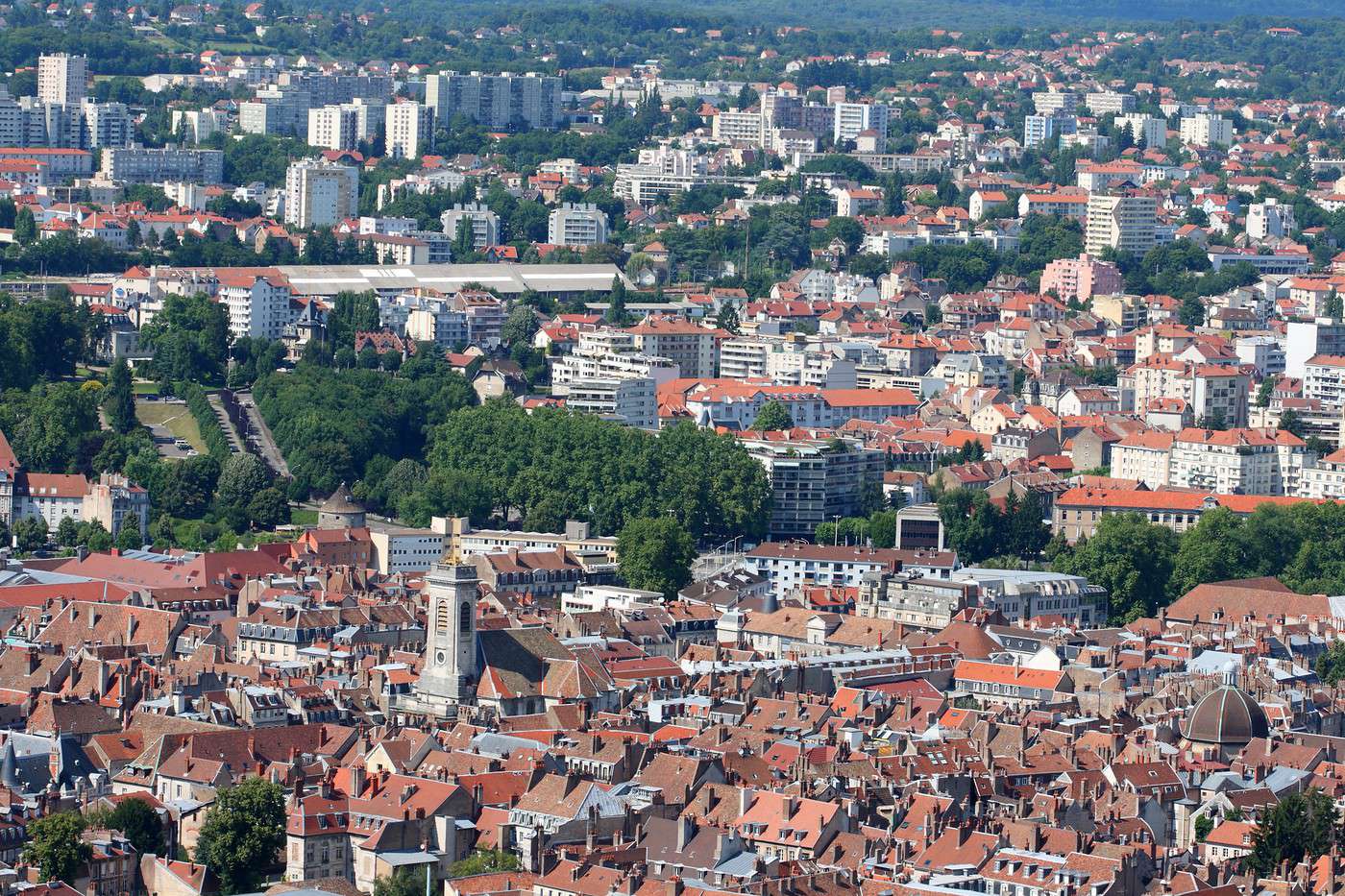
- Prefecture: Besançon.
- Sub-prefectures: Montbéliard, Pontarlier.
- Number of municipalities: 578.
- Population: 534,710 inhabitants (2014).
- Area: 5,234 km².
- Density: 102 inhabitants/km².
- Highest point: Mont d'Or (1,463 m).
- Lowest point: Ognon Valley (198 m).
- Coastline: 0 km; no maritime access.
- Highlights (out of ): Nature / ; Culture ; Relaxation-holidays
- Website: http://www.doubs.travel
Climate and weather
Tourism
The Doubs is a family-friendly destination, largely focused on traditional rural tourism and ecotourism. Here, you can explore beautiful valley landscapes, various caves (including the Poudrey Caves), the Doubs Gorges, and part of the Haut-Jura Regional Nature Park, where you can hike or ski. In terms of built heritage, there are several castles, abbeys, charming towns (Ornans, Lods...), and the Royal Saltworks of Arc-et-Senans, a UNESCO World Heritage site.