★ 2 · last edited Dec 11, 2019
Drôme
Contributionsversion #1created Dec 11, 2019Report this pageLatest contributions in this guideContributors to this guide
Location verified location
 Drôme
Open the interactive map
Drôme
Open the interactive map
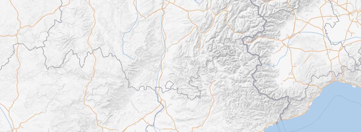
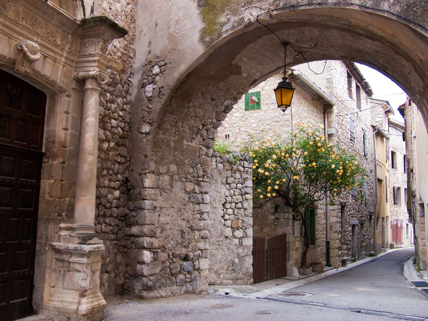
A blend of plains, hills, and mountains (reaching nearly 2,500 m in the Vercors with skiing opportunities), the Drôme offers diverse landscapes, though it isn’t the most tourist-heavy department in its region. Highlights include several medieval villages (Le Poët-Laval, Montbrun...) and various historical sites in some towns.
Overview of the Drôme
Key Facts
- Type of place: department.
- Location:
- Local time:
- Department code: 26.
- Bordering departments:
- Prefecture: Valence.
- Sub-prefectures: Die, Nyons.
- Number of municipalities: 367.
- Population: 499,159 inhabitants (2014).
- Area: 6,530 km².
- Density: 76 inhabitants/km².
- Highest point: Rocher Rond (2,453 m).
- Lowest point: the Rhône (50 m).
- Coastline: 0 km, no maritime access.
- Highlights (rated ): Nature ; Culture ; Relaxation-holidays
- Website: http://www.ladrometourisme.com
Climate and Weather
Tourism
A blend of plains, hills, and mountains (reaching nearly 2,500 m in the Vercors with skiing opportunities), the Drôme offers diverse landscapes, though it isn’t the most tourist-heavy department in its region. Highlights include several medieval villages (Le Poët-Laval, Montbrun...) and various historical sites in some towns.