★ 2 · last edited Dec 11, 2019
Eure-et-Loir
Contributionsversion #1created Dec 11, 2019Report this pageLatest contributions in this guideContributors to this guide
Location verified location
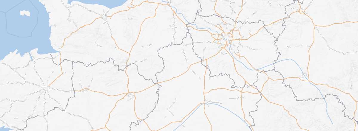 Eure-et-Loir
Open the interactive map
Eure-et-Loir
Open the interactive map
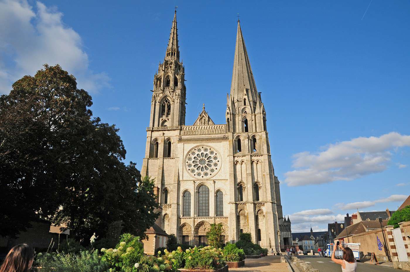
This is primarily the department of the city of Chartres and its famous cathedral. Also worth seeing are a few châteaux, starting with that of Maintenanon, as well as the landscapes of the Perche.
Overview
Key facts
- Type of place: department.
- Location:
- Department code: 28.
- Bordering departments:
- Prefecture: Chartres.
- Sub-prefectures: Châteaudun, Dreux, Nogent-le-Rotrou.
- Number of municipalities: 375
- Population: 433,762 inhabitants (2014).
- Area: 5,880 km².
- Density: 74 inhabitants/km².
- Highest point: Rougemont Hill (286 m).
- Lowest point: 48 m.
- Coastline: 0 km; no maritime access.
- Highlights (out of ): Nature ; Culture / ; Relaxation-holidays /
- Website: http://www.tourisme28.com
Climate and weather
Tourism
This is primarily the department of the city of Chartres and its famous cathedral. Also worth seeing are a few châteaux, starting with that of Maintenanon, as well as the landscapes of the Perche.