last edited Aug 12, 2020
Geography and Environment of Dominica
Location Map of Dominica
 Dominica
Open the interactive map
Geography of the Country
Natural Areas
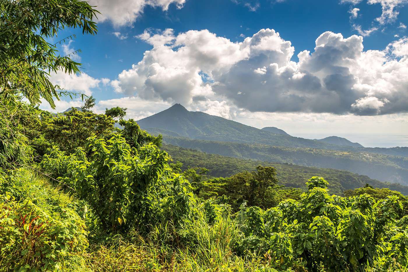
There are around ten national natural sites across the island, plus the Waitukubuli Trail, which, with its 185 km divided into 14 sections running from the north of the island (Cabrits) to the south (Soufrière), is the longest hiking trail in the Caribbean.
An "ecotourism pass" is required to visit these sites at a cost of $12 per person, valid for one week for all sites, or $5 per site. For the Waitukubuli, there is a specific package priced at $12 for one day or $40 for all 14 segments, valid for 15 days. All these passes help protect the natural sites and are available at the entrances to the various locations.
Main Natural Areas
In addition to the Waitukubuli National Trail:
- Cabrits National Park: Just next to Portsmouth, a small area of tropical forest overlooking the sea where you can hike and see an old English fort.
- Morne Diablotin National Park: A vast volcanic natural area surrounding the island’s summit in its northern part. Like much of central Dominica, the place is ideal for walking in a wild setting.
- Morne Trois Pitons National Park: On the slopes of a volcano, this natural area renowned for its flora is a UNESCO World Heritage site. The landscape is spectacular, with lakes—some of boiling water—gorges, waterfalls, and small geysers you can hike among.