last edited Dec 11, 2019
Getting Around Anguilla
Location Map of Anguilla
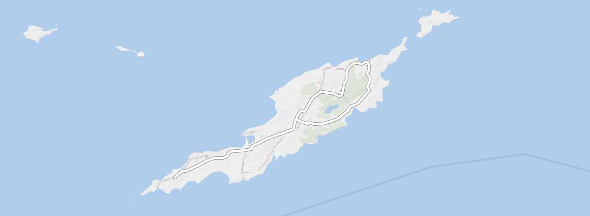 Anguilla
Open the interactive map
Anguilla
Open the interactive map
Road Network, Traffic
Car Rental
Taxis
Two Wheels
Motorcycle
Bicycle
Bicycling is the best way to explore the small, flat island. You can rent bikes at several hotels or from the island’s two rental shops. Expect to pay around $10 per day, or less for longer periods.
On Foot and Hitchhiking
Given the island’s small size, exploring on foot is a great option.
Absent Modes of Transport
At just 91 km², the island is quite small, and several transport options are missing. There are no trains, no domestic flights, no regular ferry services, and not even a bus system.
What to Choose for Getting Around?
Biking and walking are the two best ways to discover the island or get around.
Distances Between Locations
Distances (km) between the main villages on the island:
| Blowing P. | East End | George H. | Long B. | Sandy G. | Stoney G. | The Valley | |
|---|---|---|---|---|---|---|---|
| Blowing Point | 14 | 4 | 5 | 5 | 7 | 6 | |
| East End | 14 | 9 | 17 | 11 | 8 | 8 | |
| George Hill | 4 | 9 | 8 | 2 | 3 | 2 | |
| Long Bay | 5 | 17 | 8 | 8 | 11 | 10 | |
| Sandy Ground | 5 | 11 | 2 | 8 | 5 | 4 | |
| Stoney Ground | 7 | 8 | 3 | 11 | 5 | 1 | |
| The Valley | 6 | 8 | 2 | 10 | 4 | 1 |