last edited Dec 11, 2019
Getting Around Barbados
Location Map of Barbados
 Barbados
Open the interactive map
Barbados
Open the interactive map
Road Network and Traffic
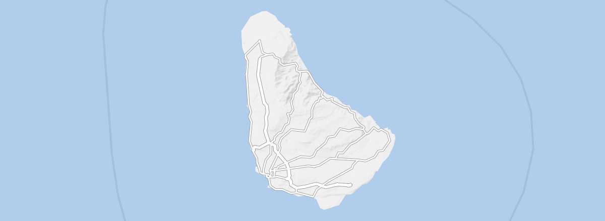
Driving is on the left in Barbados. The island has a dense road network with main roads in decent condition, secondary roads of average quality, and rural roads that may not be well-maintained and often have little signage.
Car Rental
Buses
Though the island isn’t large, it has a good small network of (mini)buses, both public and private (locally called "ZR"). While frequencies are fairly good and fares are fixed and very cheap (2 BBD$, or 1 US$), the buses don’t go everywhere, so you may need to use another form of transport—such as a day’s car rental or a taxi—to reach some spots.
Two Wheels
Motorcycle
Bicycle
Hitchhiking
Absent Transport Modes
There are no trains, domestic flights, or regular internal maritime connections on the island.
In Town
Taxis
Other Means
What to Choose for Getting Around?
Distances Between Cities
Distances (km) between the main towns in the country:
| Airport | Bathsheba | Bridgetown | Holetown | Oistins | Speightstown | The Crane | |
|---|---|---|---|---|---|---|---|
| G. Adams Airport | 23 | 18 | 26 | 7 | 34 | 9 | |
| Bathsheba | 23 | 16 | 16 | 23 | 19 | 19 | |
| Bridgetown | 18 | 16 | 12 | 12 | 19 | 22 | |
| Holetown | 26 | 16 | 12 | 21 | 9 | 30 | |
| Oistins | 7 | 23 | 12 | 21 | 28 | 14 | |
| Speightstown | 34 | 19 | 19 | 9 | 28 | 37 | |
| The Crane | 9 | 19 | 22 | 30 | 14 | 37 |