last edited Dec 11, 2019
Getting Around Curaçao
Location Map of Curaçao
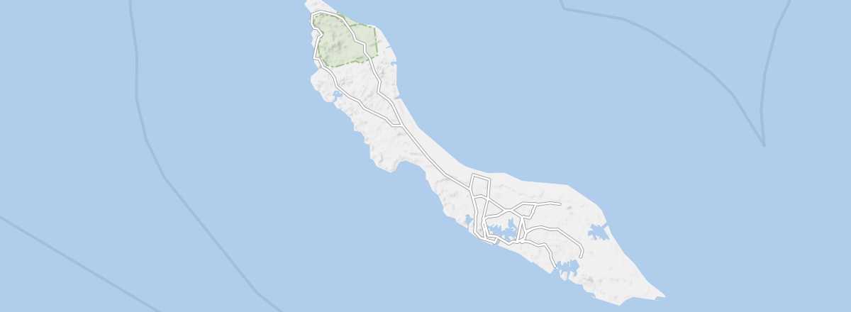 Curaçao
Open the interactive map
Curaçao
Open the interactive map
Road Network, Traffic
Car Rental
Taxis
Buses
There are two types of buses on the island: the "classic" ones (called Konvoi) and the shared minibuses (called BUS), which can carry around a dozen people. They share the network, and in all cases, they remain affordable—expect to pay roughly between $0.50 and $2 depending on the route. Note that some hotels also offer shuttles for their guests to/from the capital's center.
Two Wheels
On Foot and Hitchhiking
Absent Transport Modes
The island isn’t very large, and several transport options are missing. There are no trains, no domestic flights, and no regular maritime services.
Choosing Your Transport
Distances Between Cities
Distances (km) between the main cities and tourist spots on the island:
| Barber | S.Will. | Soto | Lagún | Newport | S.Westpunt | S.Michiel | Willemstad | |
|---|---|---|---|---|---|---|---|---|
| Barber | 11 | 6 | 10 | 44 | 15 | 26 | 31 | |
| Sint Willebrordus | 11 | 12 | 19 | 37 | 25 | 19 | 24 | |
| Soto | 6 | 12 | 8 | 47 | 14 | 29 | 34 | |
| Lagún | 10 | 19 | 8 | 53 | 6 | 35 | 40 | |
| Newport | 44 | 37 | 47 | 53 | 59 | 28 | 14 | |
| Sabana Westpunt | 15 | 25 | 14 | 6 | 59 | 41 | 46 | |
| Sint Michiel | 26 | 19 | 29 | 35 | 28 | 41 | 16 | |
| Willemstad | 31 | 24 | 34 | 40 | 14 | 46 | 16 |