last edited Dec 11, 2019
Getting Around Florida
Location Map of Florida
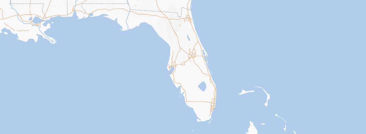 Florida
Open the interactive map
Florida
Open the interactive map
Road Network, Traffic
Car, RV
Rental
Bus
Greyhound, Megabus and RedCoach are the three major companies operating in Florida. They connect the state's main cities well. Other local or regional companies provide additional services, including secondary routes. In short, even if buses don’t go everywhere, they allow you to see most of Florida and can be a good option for those not renting a car.
Two Wheels
Motorcycle
Bicycle
Trains
Amtrak trains coming from the North (Washington, New York, etc.) serve Florida, which actually acts as the terminus for the line in Miami. Besides Miami, other major cities in the state (Jacksonville, Tampa, Orlando, etc.) are also connected by the national rail network. Note that while there is service along the Atlantic coast, there is nothing along the Gulf of Mexico toward Louisiana and the West since the line was cut in 2005 by Hurricane Katrina.
In addition to the Amtrak network, Florida has several small "local" lines. The main one, called Tri-Rail, connects Miami - Fort Lauderdale - West Palm Beach with about twenty stations spread over 120 kilometers. Another, SunRail, serves the Orlando area and its surroundings.
Boats
While there are some options for arriving by boat (often private) to the various small islands near the coast, by far the main opportunity is the service to the Florida Keys. You can take a fast ferry from Fort Myers - Marco Island - Key West (3.5 hours at sea for $125/150 round trip) with the Key West Express. Note that, in a different category, the Everglades marshes are explored by small airboats.
Domestic Flights
In Town
Taxis
Other Means
Urban Bus:
Trams:
Subway: Miami is the only city in Florida with a subway.
Which Transport to Choose?
While a car is always the best option for freedom (and rentals are not overly expensive), Florida can also be explored by bus if you focus on the southern part of the state and the cities, though you may need to adjust slightly for visiting the Everglades.
Distances Between Cities
Distances (km) between Florida's main cities:
| Dayt. | Fort L. | Jacks. | Key W. | Miami | Orlan. | Pensa. | Talla. | Tampa | |
|---|---|---|---|---|---|---|---|---|---|
| Daytona | 420 | ||||||||
| Fort Lauderdale | 50 | ||||||||
| Jacksonville | 555 | ||||||||
| Key West | 265 | ||||||||
| Miami | 420 | 50 | 555 | 265 | 380 | 1085 | 755 | 435 | |
| Orlando | 380 | ||||||||
| Pensacola | 1085 | ||||||||
| Tallahassee | 755 | ||||||||
| Tampa | 435 |
As a reminder, distances in the United States are expressed in miles, with 1 mile = 1.607 km.