last edited Dec 11, 2019
Getting around in Gambia
Location Map of Gambia
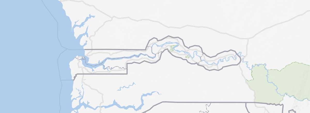 Gambia
Open the interactive map
Gambia
Open the interactive map
Road network, traffic
Car, camper van
Rental
Buses and shared taxis
Two wheels
Motorcycle
Bike
Hitchhiking
Ferries and boats
The crossing of the Gambia River is done at its mouth between Barra and Banjul from 7:30 AM to 10:00 PM. As for the Farafenni ferry on the Trans-Gambian Highway, it was replaced by a bridge in 2019.
Absent transport
There are no trains or domestic flights within the country.
In town
Taxis
Other means
What to choose for your travels?
Distances between cities
Distances (km) between the main cities or tourist sites in the country:
| Albreda | Bakau | Banjul | Bansang | Basse S. | Fajara | Serrek. | |
|---|---|---|---|---|---|---|---|
| Albreda | |||||||
| Bakau | |||||||
| Banjul | |||||||
| Bansang | |||||||
| Basse Santa Su | |||||||
| Fajara | |||||||
| Serrekunda |