last edited Aug 15, 2020
Getting Around Texas
Location Map of Texas
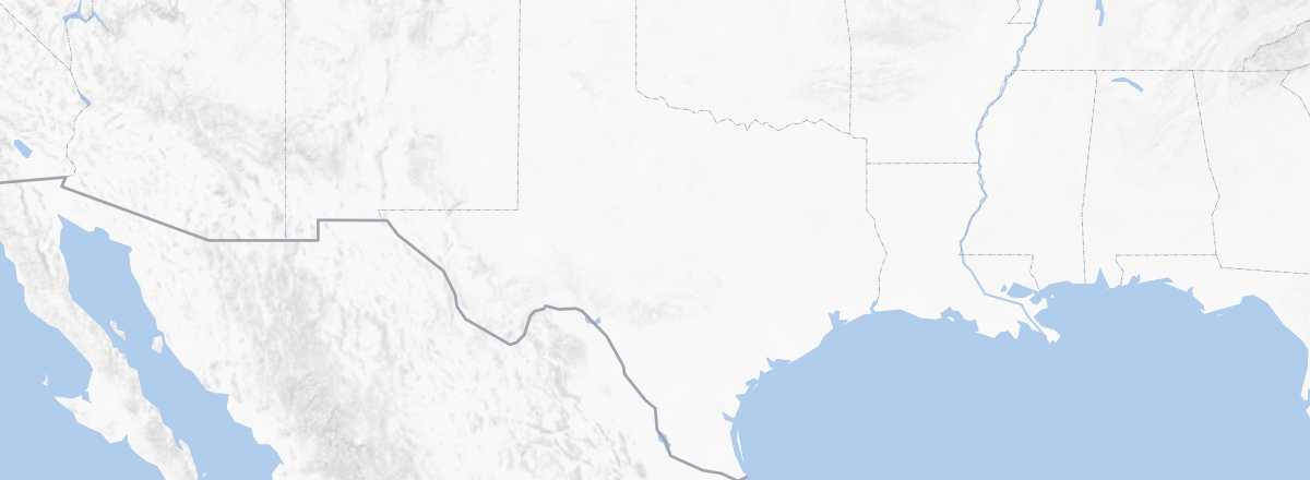 Texas
Open the interactive map
Texas
Open the interactive map
Road Network, Traffic
Car, RV
Rental
Bus
Greyhound, Megabus, and, to a lesser extent, the local Vonlane for the Austin-Dallas-Houston "triangle" are the three major companies operating in Texas. They connect the main cities well. Other local or regional companies provide additional services, including secondary routes, but they don’t make it easy for travelers to reach all the state’s points of interest.
Two Wheels
Motorcycle
Bike
Hitchhiking
Trains
Amtrak Network
Although Texas has one of the longest rail networks in the country, most of it is traditionally dedicated to freight. For passengers, there are only three Amtrak lines in the state: a transcontinental route from California to Louisiana and the East Coast, plus a segment from Dallas/Fort Worth to Oklahoma and another heading north to Chicago (see details). In short, while you can connect the main Texan cities (though not always directly), the train won’t help you explore the destination.
- Oklahoma City - Fort Worth: Heartland Flyer
- New Orleans - San Antonio - Los Angeles: Sunset Limited
- Chicago - St. Louis - Dallas - San Antonio - (Los Angeles): Texas Eagle
Local or Tourist Trains
While Amtrak dominates the state and the country, smaller local companies also exist. These include suburban networks for major cities, such as Capital Metro for the Austin area, DART for Dallas, the Trinity Railway Express for Dallas-Fort Worth, and MetroRail for Houston. These services often include urban bus networks, and the suburban lines connect to Amtrak where possible. Additionally, there are a few tourist trains, like the Grapevine Vintage Railroad near Fort Worth.
Boats
Domestic Flights
In Town
Taxis
Other Means
Subway, trams, and commuter trains:
Urban buses: While major Texan cities have their own bus systems, these are, like in many U.S. cities, underused by locals who prefer cars. Additionally, routes and frequencies aren’t always extensive, making trips potentially time-consuming.
On foot:
Which Transport to Choose?
As with many vast tourist regions where points of interest lie outside cities, a car remains the best way to get around. Even in cities, it can be useful given the often underdeveloped urban transport systems in Texas.
Distances Between Cities
Distances (km) between major cities and sites in Texas:
| Amarillo | Austin | C. Christi | Dallas | El Paso | F. Worth | Galvest. | Houston | S. Antonio | |
|---|---|---|---|---|---|---|---|---|---|
| Amarillo | 965 | ||||||||
| Austin | 260 | ||||||||
| Corpus Christi | 335 | ||||||||
| Dallas | 385 | ||||||||
| El Paso | 1200 | ||||||||
| Fort Worth | 420 | ||||||||
| Galvestone | 85 | ||||||||
| Houston | 965 | 260 | 335 | 385 | 1200 | 420 | 85 | 320 | |
| San Antonio | 320 |
As a reminder, distances in the United States are measured in miles, with 1 mile = 1.607 km.