last edited Aug 17, 2020
Getting Around the American West
Location Map of American West
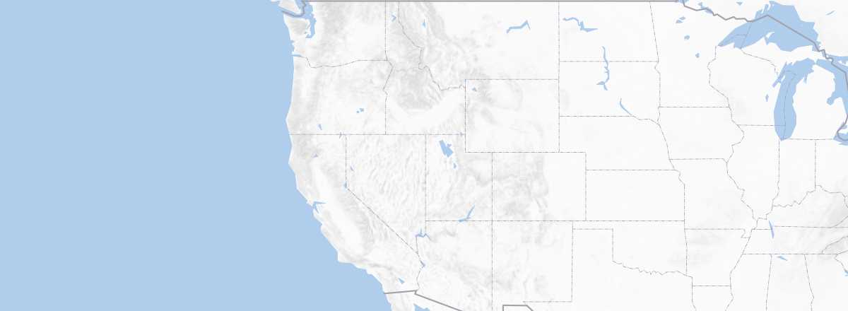 American West
Open the interactive map
American West
Open the interactive map
Road Network, Traffic
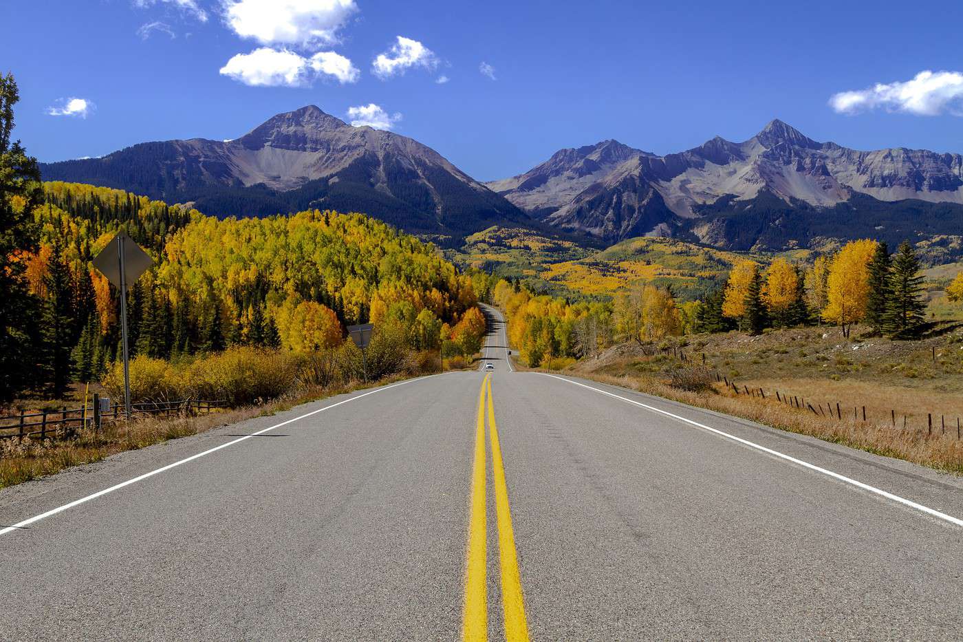
Car, RV
Rental
Bus
Two Wheels
Motorcycle
Bicycle
Hitchhiking
Trains
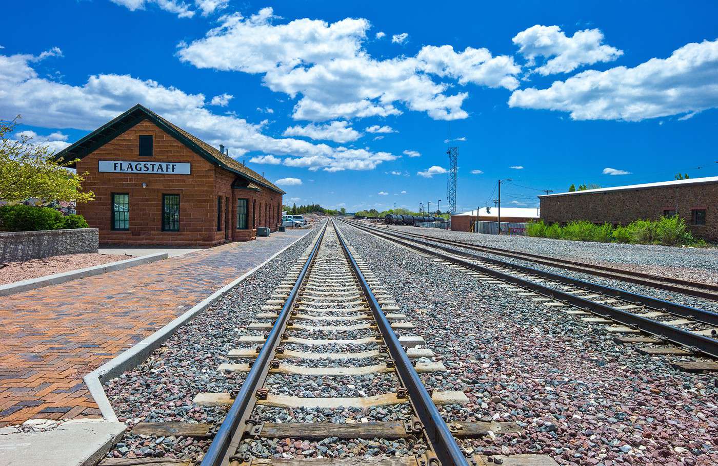
The Amtrak rail network in this part of the country consists of four lines whose purpose is to connect the East (notably via Chicago) to the North Pacific Coast and California. There is one line running along the Canadian border, another along the Mexican border, and two others passing through Colorado or New Mexico. Generally, as always, trains only serve cities—and not even all of them (Las Vegas, for example). In short, trains aren’t necessarily the best way to explore the region in depth beyond its (very) major routes.
Among the trains and lines in the region (see details):
- Chicago - Denver - Glenwood Springs - San Francisco: California Zephyr
- Chicago - Milwaukee - St. Paul/Minneapolis - Spokane - Portland/Seattle: Empire Builder
- Chicago - Albuquerque - Los Angeles: Southwest Chief
- Chicago - St. Louis - Dallas - San Antonio - Los Angeles: Texas Eagle (with its "variant" San Antonio-New Orleans for the Sunset Limited)
Additionally, some cities have peripheral networks, such as the "Greater Denver" system (the "RTD"). These are then connected to the Amtrak network where possible.
Domestic Flights
In Town
Taxis
Other Means
Urban bus:
Trams:
Subway:
On foot:
Which Transport to Choose?
Perhaps more than any other region in the United States, the American West requires self-sufficiency when it comes to getting around. The vast majority of places worth discovering are in nature and very difficult—if not often impossible—to reach by public transport. In short, a car or RV (or even a motorcycle) is the solution.
Distances Between Cities
Distances (km) between the main cities in the region:
| Albu. | Denver | L. Vegas | Missou. | Page | Phoenix | Reno | SLCity | Sta Fe | |
|---|---|---|---|---|---|---|---|---|---|
| Albuquerque -NM | 925 | ||||||||
| Denver -CO | 1,200 | ||||||||
| Las Vegas -NV | 925 | 1,200 | 1,520 | 440 | 480 | 705 | 680 | 1,020 | |
| Missoula -MT | 1,520 | ||||||||
| Page -AZ | 440 | ||||||||
| Phoenix -AZ | 480 | ||||||||
| Reno -NV | 705 | ||||||||
| Salt Lake City -UT | 680 | ||||||||
| Santa Fe -NM | 1,020 |
For reference, distances in the United States are measured in miles, with 1 mile = 1.607 km.