last edited Dec 11, 2019
Getting to Amsterdam by Land or Sea
Location Map of Amsterdam
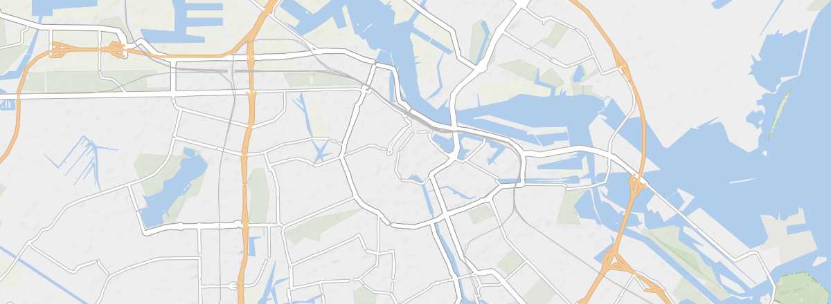 Amsterdam
Open the interactive map
By Land
Amsterdam is just over 500 km from Paris and less than 300 km from the French border. The excellent road and motorway network makes it easy and quick to reach from France or elsewhere.
Beyond the increasingly popular carpooling services, several bus companies offer numerous connections between various European cities and the Netherlands, the best-known being Eurolines. You can sometimes find a Paris-Amsterdam round trip for as little as 50 € and under 100 € from other parts of France. Depending on your departure and arrival cities, the bus can be a good alternative to flying or taking the train, especially if you live in northern France.
By Train
Less well-known than the Eurostar, the Thalys is the rail line connecting France (Paris), Belgium (Brussels), Germany (Cologne), and the Netherlands (Amsterdam), with Brussels as the central hub and several intermediate stops, including Rotterdam. This high-speed train links the French and Dutch capitals in just 3 hours and 20 minutes, with fares occasionally dropping below 100 € for a round trip, though you should generally budget around 130–180 €. Alternatively, the Netherlands, Belgium, and France are all covered by the InterRail pass.
Distances
Distances (km) between Amsterdam and the main cities in the country:
| Alkm. | Apeld. | Arnh. | Breda | Delft | Eind. | Gron. | La H. | Leuw. | Maast. | Rott. | Utrecht | |
|---|---|---|---|---|---|---|---|---|---|---|---|---|
| Amsterdam | 40 | 90 | 100 | 105 | 70 | 125 | 180 | 65 | 140 | 210 | 80 | 50 |
By Sea
Ferries
Cargo
Though Amsterdam’s port is famous thanks to Jacques Brel, it’s Rotterdam that boasts the largest port—and even Europe’s biggest commercial port. There are more opportunities to arrive there by cargo ship.