last edited Dec 11, 2019
Getting to Baja California
Location Map of Baja California
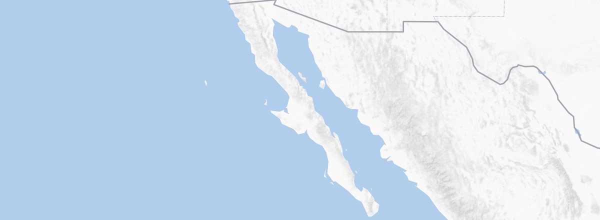 Baja California
Open the interactive map
Baja California
Open the interactive map
By air
Tijuana in the north and Los Cabos in the south are by far the region's main airports, to the point that they are actually ranked among the country's top ten in terms of traffic. While the former serves almost exclusively domestic flights (though San Diego is very close), the latter has also specialized in seasonal and vacation flights to and from the USA and Canada. In short, it is quite easy to fly into either the north or south of the peninsula, even if a departure from Europe will always require a connection within the country or with the American neighbor.
Overland
There is no problem crossing the Mexican border from the USA, whether at Mexicali or, more commonly (from San Diego, California), at Tijuana, which remains one of the busiest border crossings in the world. Numerous buses connect the two countries, as well as between Baja California and the rest of Mexico via the neighboring state of Sonora and its capital Hermosillo. However, if you plan to travel to the southern part of the peninsula from the other side of the Gulf of California, it is best to take one of the ferries crossing this stretch of sea to save a lot of time and kilometers.
By sea
It is in southern Baja California that you will find the country's main ferry connections. This makes sense when you see the time and, above all, the distance saved by crossing the Sea of Cortez between the peninsula and the northwest coast of Mexico. Specifically, the company Baja Ferries operates daily services between La Paz and the ports of Los Mochis (6 hours; $65 minimum) or Mazatlán (12 hours; $75 minimum) on the other side of the Gulf of California. Another route, with Ferry Santa Rosalia, also connects Santa Rosalia and Guaymas in about ten hours for roughly $60 per trip.
As for cruises, there are a few US cruise ships that occasionally stop at Ensenada or Cabo San Lucas.