★ 3 · last edited Aug 7, 2020
Haut-Rhin
Contributionsversion #3created Aug 7, 2020Report this pageLatest contributions in this guideContributors to this guide
Location verified location
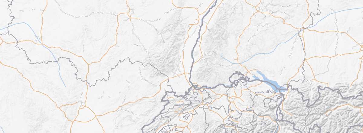 Haut-Rhin
Open the interactive map
Haut-Rhin
Open the interactive map
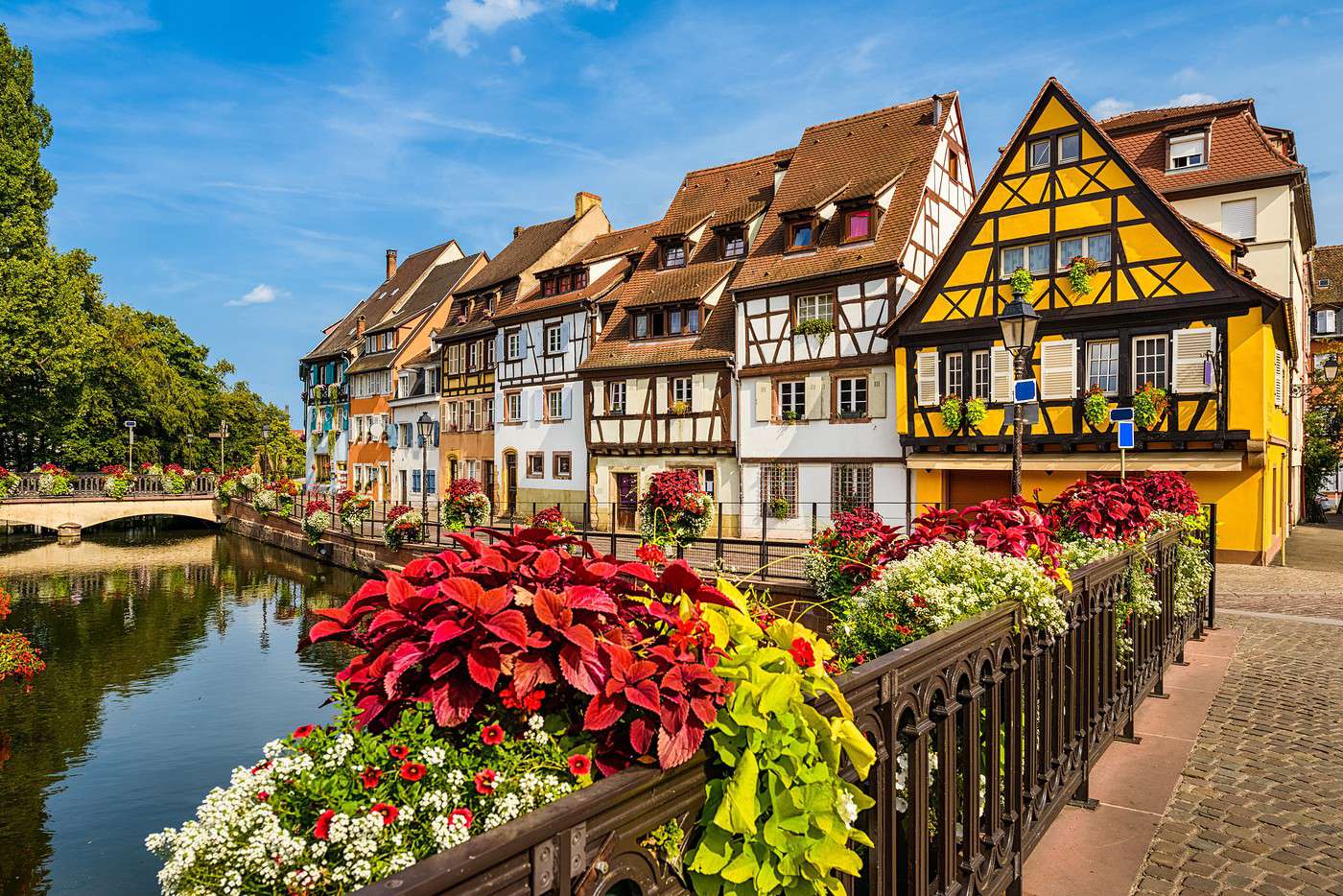
Colmar, Ribeauvillé, the typical small towns of Kaysersberg, Eguisheim, and Riquewihr, as well as the Alsace Wine Route that runs through the area, not to mention some interesting natural sites (Vosges Massif, Hohneck...), Haut-Rhin reflects the rest of Alsace and is a (nearly) complete holiday destination.
Overview
Key Facts
- Type of place: department.
- Location:
- Department code: 68.
- Bordering departments:
- Prefecture: Colmar.
- Sub-prefectures: Altkirch, Mulhouse, Thann.
- Number of municipalities: 366.
- Population: 764,030 inhabitants (2017)
- Area: 3,525 km².
- Density: 216 inhabitants/km².
- Highest point: Grand Ballon (1,424 m).
- Lowest point: Rhine bank (179 m).
- Coastline: 0 km; no maritime access.
- Highlights (out of ): Nature /; Culture ; Relaxation-holidays .
History of Haut-Rhin
Geography and Environment
Culture and Economy
What to See in Haut-Rhin
Colmar, Ribeauvillé, the typical small towns of Kaysersberg, Eguisheim, Riquewihr, as well as the Alsace Wine Route that runs through the area, not to mention some interesting natural sites (Vosges Massif, Hohneck...), Haut-Rhin reflects the rest of Alsace and is a (nearly) complete holiday destination.
What to Do in Haut-Rhin
Climate and Weather
Protected to the west by the Vosges Massif, Haut-Rhin has a semi-continental climate characterized by cold, dry winters and hot, stormy summers. Rainfall is slightly lower than in neighboring Bas-Rhin.