★ 2 · last edited Jul 27, 2020
Imbros Island
Location verified location
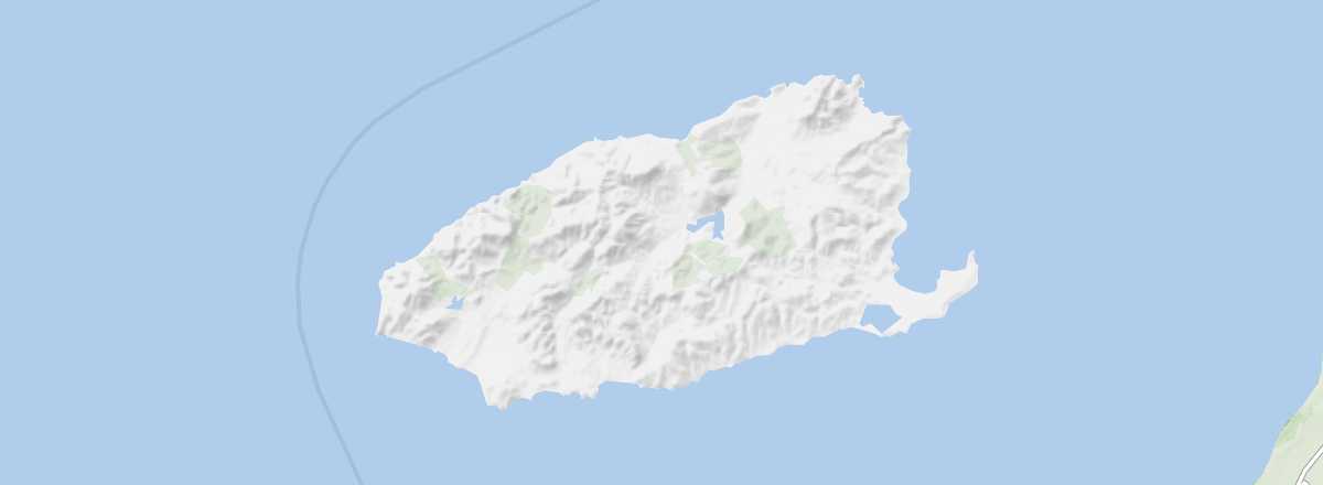 Imbros Island
Open the interactive map
Imbros Island
Open the interactive map
At the entrance to the Dardanelles, the large mountainous island offers beautiful beaches with opportunities for diving and windsurfing. You can also see several more or less abandoned Greek villages.
Overview of Imbros Island
At the entrance to the Dardanelles, the large mountainous island (locally known as Gökçeada) offers beautiful beaches with opportunities for diving and windsurfing. You can also see several more or less abandoned Greek villages.
Key Facts
- Type de lieu: island.
- Intérêt touristique: (worth seeing).
- Localisation:
- Heure locale:
- Localité principale:
- Population: 8,776 inhabitants (2016).
- Superficie: 279 km².
- Point le plus haut: Ilyas Dag (673 m).
- Littoral:
- Site internet: www.goturkeytourism.com/gokceada-island-in-turkey.html
History of Imbros Island
Environment of the Island
Wildlife and Flora
Precautions
What to See and Do on Imbros Island
In the Surrounding Area
Climate and Weather on Imbros Island
The island has a Mediterranean climate with a notable continental influence. Winters can be quite cool and rainy, while summers are hot and sunny with occasional thunderstorms. The months from May to October are good times to visit.
Sea Temperature Throughout the Year
| Jan. | Feb. | Mar. | Apr. | May | Jun. | Jul. | Aug. | Sep. | Oct. | Nov. | Dec. | |
|---|---|---|---|---|---|---|---|---|---|---|---|---|
| Imbros | 13 | 13 | 13 | 14 | 18 | 21 | 24 | 24 | 23 | 19 | 17 | 14 |