last edited Dec 11, 2019
Introducing East India
Location Map of East India
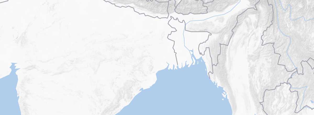 East India
Open the interactive map
East India
Open the interactive map
Overview
Key Facts
- Type of place: tourist region.
- Location: the northern part of the Bay of Bengal, surrounding Bangladesh.
- Local time:
- States and/or territories: Bihar, West Bengal, Chhattisgarh, Jharkhand, Odisha, Sikkim, and the 7 small northeastern states (Arunachal Pradesh, Assam, Manipur, Meghalaya, Mizoram, Nagaland, Tripura).
- Main cities: Bhubaneswar, Calcutta, Darjeeling, Gangtok, Patna, Puri, Raipur...
- Population:
- Area:
- Density:
- Highest point: Mt Kanchenjunga (8,598 m) in Sikkim.
- Lowest point: sea level.
- Coastline:
Tourism
This region isn’t the most touristy, easiest to travel, or even the safest part of the country. However, East India offers a different side of the nation, off the beaten path—especially when you venture into the small northeastern states bordering Myanmar. Expect stunning Himalayan landscapes, trekking opportunities (particularly in Sikkim), several national parks and nature reserves, and unique local cultures and traditions in certain states (like Nagaland) that you won’t find anywhere else.
Travel Essentials
- By air: France-Kolkata.
- Backpacker daily budget:
- Best for accommodation:
- Best for getting around:
- Risks:
- Best time for weather/crowds/prices:
- Interests (out of ): Nature ; Adventure ; Culture ; Relaxation/holidays /
- Website: