last edited Dec 11, 2019
Introducing Occitanie
Location Map of Occitania
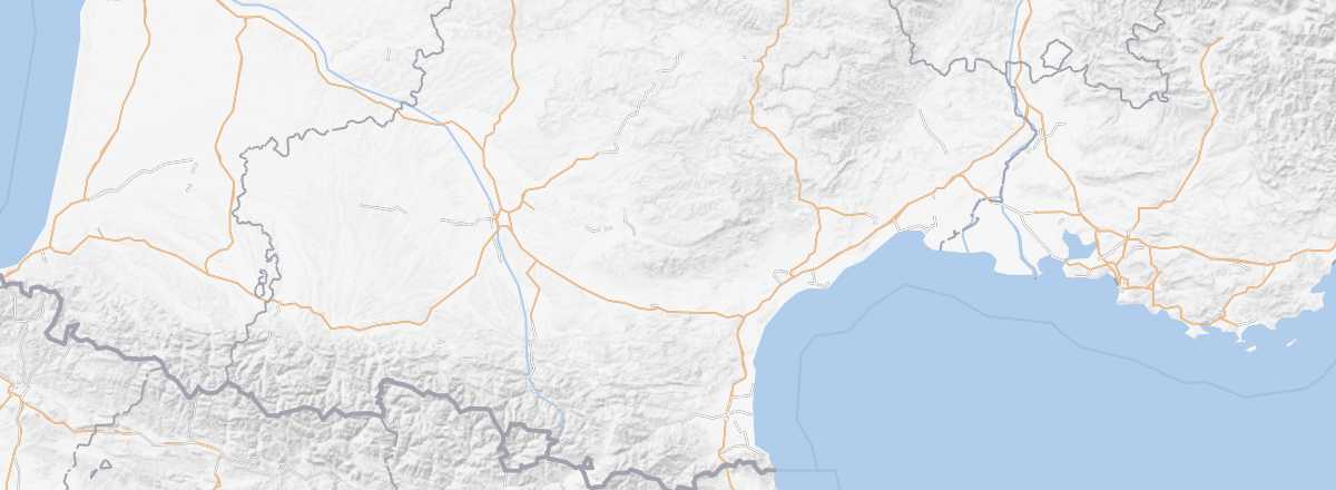 Occitania
Open the interactive map
Occitania
Open the interactive map
Overview
Key Facts
- Location: in the southwest, bordering Spain and the Mediterranean.
- Local time:
- Administrative region: Occitanie (prefecture: Toulouse).
- Departments: Ariège (09), Aude (11), Aveyron (12), Gard (30), Haute-Garonne (31), Gers (32), Hérault (34), Lot (46), Lozère (48), Hautes-Pyrénées (65), Pyrénées-Orientales (66), Tarn (81), and Tarn-et-Garonne (82).
- Main cities: Albi, Cahors, Montpellier, Nîmes, Perpignan, Tarbes, Toulouse...
- Population: 5,684,000 inhabitants (2014).
- Area: 72,724 km².
- Highest point:
- Lowest point: sea level.
- Coastline:
Tourism
Languedoc and Midi-Pyrénées merged to form this new region, adding even more to the pleasures of sea and mountains, along with a rich cultural heritage thanks to cities like Toulouse, Carcassonne, and Montpellier, countless villages labeled "Most Beautiful Villages of France," the Cathar castles, and the Catalan country.
Where to get information?
Departmental Tourism Committees
Travel Essentials
- Backpacker daily budget:
- Best for accommodation:
- Best for getting around:
- Best time for climate/crowds/prices:
- Highlights (rated ): Nature ; Culture /; Relaxation/holidays
- Website: http://www.tourisme-occitanie.com