last edited Dec 11, 2019
Introducing Western France
Location Map of Western France
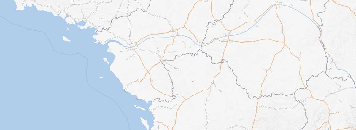 Western France
Open the interactive map
Western France
Open the interactive map
Overview
Key Facts
- Type of place: tourist region.
- Local time:
- Administrative regions: Pays de la Loire and Nouvelle-Aquitaine (for Poitou-Charente)
- Departments: Loire-Atlantique (44), Maine-et-Loire (49), Mayenne (53), Sarthe (72) and Vendée (85) for Pays de la Loire. Charente (16), Charente-Maritime (17), Deux-Sèvres (79) and Vienne (86) for the former Poitou-Charente region.
- Main cities: Angers, Angoulême, La Rochelle, Laval, Le Mans, Nantes, Poitiers, Saint-Nazaire...
- Population:
- Area:
- Highest point:
- Lowest point: sea level.
- Coastline:
Tourism
From the Gironde Estuary to the borders with Brittany, this part of France draws visitors primarily for its many beaches, seaside resorts, several beautiful islands near the coast (Noirmoutier, Oléron, Ré, etc.) and two major theme parks: Futuroscope and Puy du Fou. In short, the West is first and foremost a relaxation-holiday destination, though culturally, cities like Nantes, La Rochelle and Angers are well worth a visit.
Where to get information?
Departmental Tourism Committees
Travel Essentials
- Backpacker daily budget:
- Best for accommodation:
- Best for getting around:
- Best time for climate/crowds/prices:
- Highlights (out of ): Nature ; Culture ; Relaxation-holidays
- Website: