last edited Dec 11, 2019
Introduction to Bordeaux
Location Map of Bordeaux
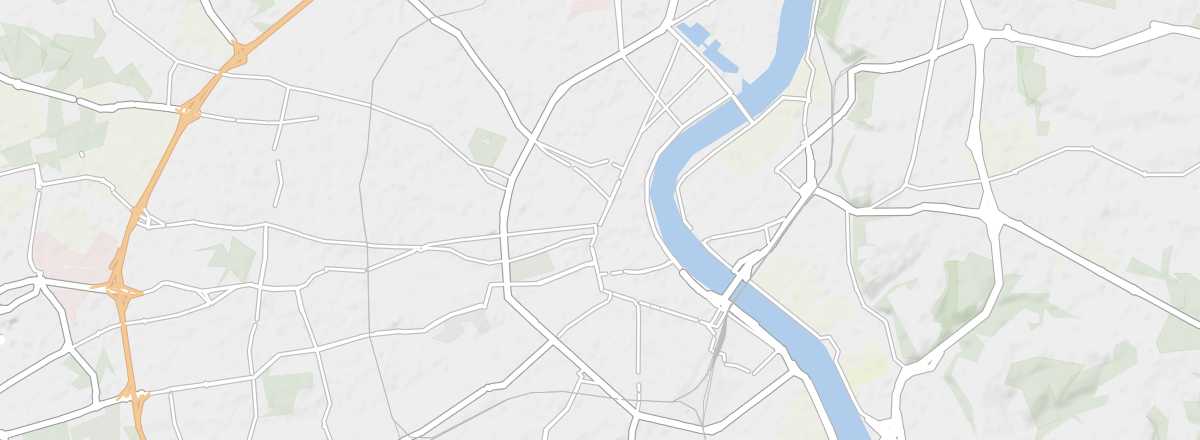 Bordeaux
Open the interactive map
Bordeaux
Open the interactive map
Overview of the City
Both a departmental and regional prefecture, Bordeaux is the ninth-largest city in France. It is crossed by the Garonne River and located on the plain at the mouth of the Gironde estuary, which makes it a port accessible to cruise ships (the second-largest Atlantic stop in France) and ocean-going vessels (over 1,500 each year). Beyond the Bordeaux wines that have made its reputation, the city has developed a commercial sector based on timber, agri-food, and high technology (aeronautics, electronics, chemistry).
In terms of urban development, after decades of decline, Bordeaux has undergone significant renovation and a revival of dynamism in recent years, notably marked by the UNESCO World Heritage listing of its quays. It is no surprise, then, that the city welcomes between 2.5 and 3 million visitors annually.
Key Facts
- Type of place: main city.
- Tourist interest: (must-see or highly recommended).
- Location: in southwestern France, near the Gironde estuary and the Atlantic coast.
- Latitude/longitude: 44°50' N, 0°34' W.
- Local time: .
- Population: 252,040 inhabitants and approximately 1.3 million for the metropolitan area (2016).
- Area: 49 km².
- Altitude: from 1 to 42 m.
Tourism
Travel Essentials
- Backpacker daily budget:
- Best for accommodation:
- Best for getting around:
- Best time for climate/crowds/prices:
- Tourist interest: (must-see or highly recommended).
- Website: http://www.bordeaux-tourisme.com