last edited Dec 11, 2019
Introduction to Eswatini
Location Map of Eswatini (Swaziland)
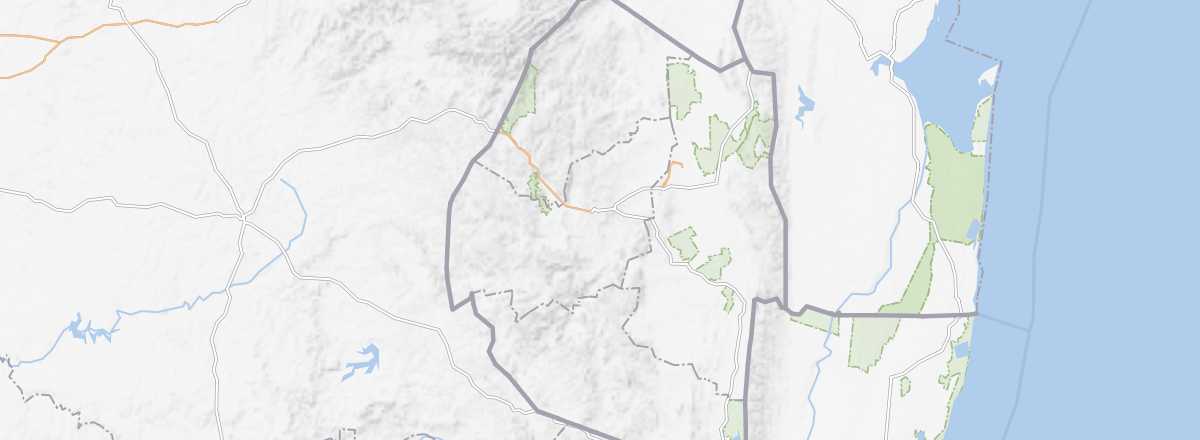 Eswatini (Swaziland)
Open the interactive map
Eswatini (Swaziland)
Open the interactive map
Quick Overview
Wedged between South Africa and Mozambique, with no access to the sea, Eswatini—despite its tiny size—boasts a surprisingly diverse range of landscapes. Since 2018, the country has been officially known as Eswatini.
Key Facts
- Type of place: country.
- Location: in Southern Africa, between South Africa and Mozambique.
- Latitude/longitude: 26°19' S, 31°8' E.
- Local time:
- Nature of the state: absolute monarchy.
- Official language: English and Swazi.
- Currency: lilangeni.
- Population: 1,087,200 inhabitants (2018).
- Area: 17,364 km²
- Density: 64 inhabitants/km²
- Highest point:
- Lowest point:
- Coastline: 0 km; no maritime access.
- Driving: on the left.
Tourism
Not widely known among Europeans or North Americans, this small monarchy—renamed Eswatini—remains a popular destination for its South African neighbors, thanks to its reserves and "game parks," which have become a hit with this clientele. In 2018, the country recorded 782,000 visitors.
Travel Essentials
- Destination:
- By air:
- Entry requirements: passport.
- Currency to bring:
- Exchange rate:
- Daily "backpacker" budget:
- Best for accommodation:
- Best for getting around:
- Risks:
- Best time for climate/crowds/prices:
- Interests (out of ): Nature /; Adventure ; Culture ; Relaxation/Holidays .
Useful Addresses
Socio-Economic Statistics
- "Quality of life": 148/188 (rank in 2015)
- GDP per capita: $10,100 (2017)
- Average monthly income: ()
- Inflation: +6.2% (2017)
- "Official" unemployment: 28% (2014)
- Population below poverty line: 63% (2011)
- Life expectancy: 57.2 years (2017)
- Migration rate per 1,000 inhabitants: 0 (2017)
- Population growth: +0.82% (2018)
- Literacy rate: 87.5% (2015)
- Urban population: 23.8% (2018)
- Press freedom: 152/180 (rank in 2018)
- Political regime: authoritarian regime (144/167 in 2018)
Sources: World Bank, Human Development Indicators, RSF, The Economist, The World Factbook