last edited Dec 11, 2019
Introduction to Turkmenistan
Location Map of Turkmenistan
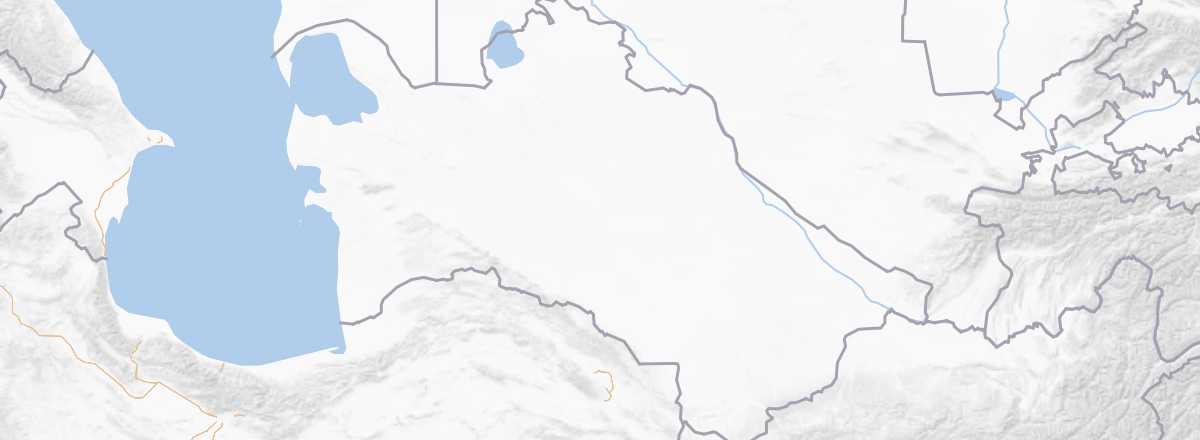 Turkmenistan
Open the interactive map
Quick Overview
Key Facts
- Type of place: country.
- Location: north of Iran, bordering the Caspian Sea.
- Latitude/longitude: 58º38' E, 37º95' N.
- Local time:
- Capital: Ashgabat.
- Nature of the state: nationalist single-party republic.
- Official language: Turkmen (Russian also used as an inter-ethnic communication language).
- Currency: Turkmen manat.
- Population: 5,411,012 inhabitants (2018).
- Area: 488,100 km².
- Density: 11 inhabitants/km².
- Highest point: Ayrybaba (3,139 m).
- Lowest point: Lake Sary Kamysh (-81 m).
- Coastline: 1,768 km.
- Driving: on the right.
Tourism
Less well-known, less visited, and less spectacular than the other "stans," with a local dictatorial regime that shows little interest in tourism, the country is also largely desert with relatively few tourist sites.
Travel Essentials
- Destination: for somewhat experienced travelers.
- By air: France-Ashgabat.
- Entry requirements: passport + visa + invitation (and registration upon arrival).
- Currency to bring: US dollars in cash.
- Exchange rate:
- Daily "backpacker" budget:
- Best for accommodation:
- Best for getting around:
- Risks:
- Best time for climate/crowds/prices:
- Interests (out of ): Nature ; Adventure ; Culture ; Relaxation/holidays /
Useful Addresses
Socio-Economic Statistics
- "Quality of life": 108/188 (rank in 2018)
- GDP per capita: $18,200 (2017)
- Average monthly income: ()
- Inflation: +8% (2017)
- "Official" unemployment: 11% (2014)
- Population below the poverty line: 0.2% (2012)
- Life expectancy: 70.7 years (2018)
- Migration rate per 1,000 inhabitants: -1.8 (2017)
- Population growth: +1.1% (2018)
- Literacy rate: 99.7% (2015)
- Urban population: 51.6% (2018)
- Press freedom: 178/180 (rank in 2018)
- Political regime: authoritarian regime (162/167 in 2018)
Sources: World Bank, Human Development Indicators, RSF, The Economist, The World Factbook