★ 3 · last edited Dec 11, 2019
Jebel Akhdar
Location verified location
 Jebel Akhdar
Open the interactive map
Jebel Akhdar
Open the interactive map
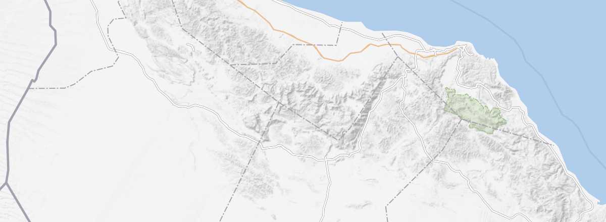
This mountain range in the Hajar, around the city of Nizwa, is a favorite among hikers. You can visit several ancient villages like Tanuf, a few forts, and enjoy the "wadis". It’s also home to Jebel Shams, the highest point (3,075 m) in the sultanate.
Overview of Jebel Akhdar
This mountain range in the Hajar, around the city of Nizwa, is a favorite among hikers. You can visit several ancient villages like Tanuf, a few forts, and enjoy the "wadis". It’s also home to Jebel Shams, the highest point (3,075 m) in the sultanate.
Key details
- Type of place: massif.
- Tourist interest: (recommended).
- Features:
- Range: Hajar Mountains.
- Length: 300 km.
- Width: between 50 and 100 km.
- Summit: Jebel Shams (3,075 m).
Jebel Akhdar’s environment
Wildlife and flora
Population and economic activity
Climate and weather
Precautions
What to see and do
Practical information
- Location:
- Distances:
- Website: