★ 3 · last edited Dec 11, 2019
Kootenays
Location verified location
 Kootenays
Open the interactive map
Kootenays
Open the interactive map
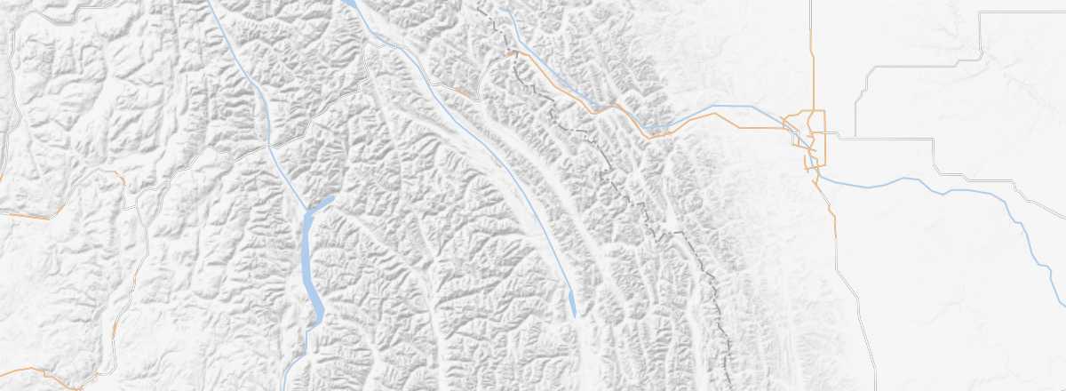
This is the southeastern part of British Columbia, bordering the United States and Alberta. A highly mountainous region with several natural parks, it offers stunning landscapes and countless opportunities for outdoor activities, starting with skiing (many resorts) and hiking. You can also visit a few former mines (Nelson, Rossland, etc.).
Overview of the Kootenays
This is the southeastern part of British Columbia, bordering the United States and Alberta. A highly mountainous region with several natural parks, it offers stunning landscapes and countless opportunities for outdoor activities, starting with skiing (many resorts) and hiking. You can also visit a few former mines (Nelson, Rossland, etc.).
Key Facts
- Type of place: tourist region
- Tourist interest: (recommended).
- Location:
- Local time:
- Main city:
- Population: 150,000 inhabitants (2016).
- Area: 58,000 km².
- Highest point:
- Lowest point:
- Website: http://www.pc.gc.ca/kootenay