★ 2 · last edited Dec 11, 2019
Kumasi
Location verified location
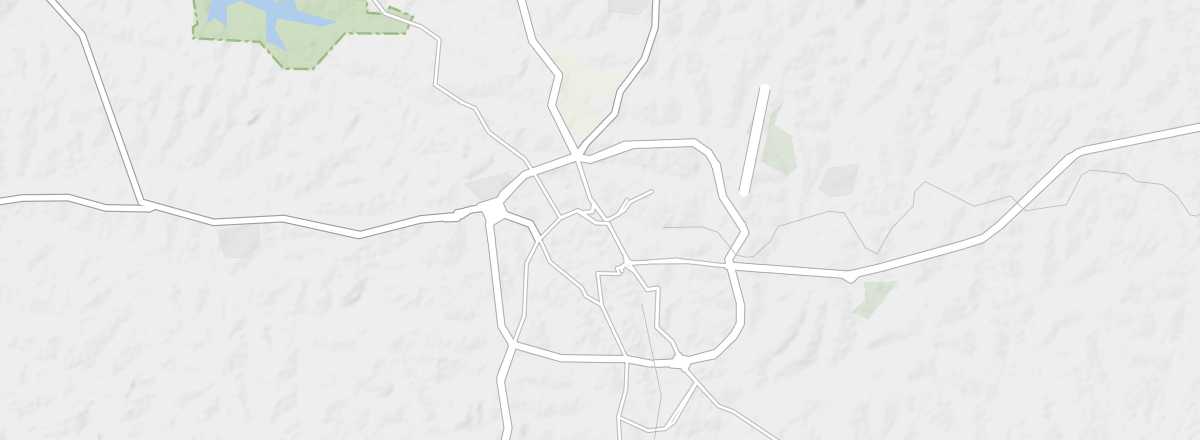 Kumasi
Open the interactive map
Kumasi
Open the interactive map
The second-largest city in the country, located in the centre, Kumasi is also the "capital" of the Ashanti people, whose traditional surrounding habitat is a UNESCO World Heritage site. The city features several museums, an old British fort, and one of West Africa’s most important markets. The Owabi Forest Reserve and its birdlife are also nearby.
Overview of Kumasi
The second-largest city in Ghana, located in the centre of the country, Kumasi is also the "capital" of the Ashanti people, whose traditional surrounding habitat is a UNESCO World Heritage site. The city boasts several museums, an old British fort, and one of West Africa’s most important markets. The Owabi Forest Reserve and its birdlife are also nearby.
Key facts
- Type of place: large city.
- Tourist interest: (worth seeing).
- Location:
- Distances:
- Local time: .
- Population: 2,069,350 inhabitants (2013).
- Area: 254 km².
- Altitude: 252 m.
- Website: https://afrotourism.com/city/kumasi