★ 1 · last edited Jun 30, 2020
Le Conquet
Contributionsversion #3created Jun 30, 2020Report this pageLatest contributions in this guideContributors to this guide
Location verified location
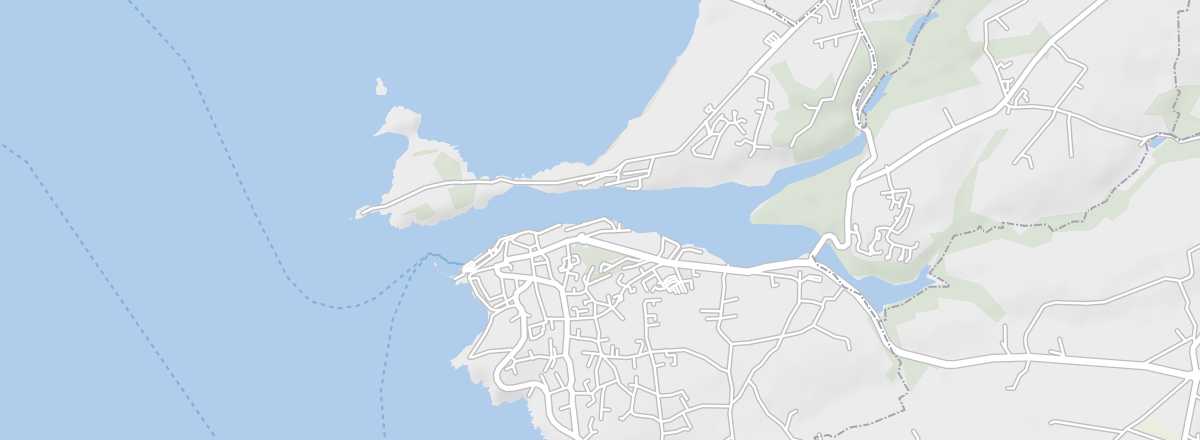 Le Conquet
Open the interactive map
Le Conquet
Open the interactive map
On the Iroise Sea, it’s a fishing port, secondarily a seaside resort, and above all the departure point for Ouessant and Molène.
Overview of Le Conquet
On the Iroise Sea, Le Conquet is a fishing port, secondarily a seaside resort, and above all the departure point for Ouessant and Molène.
Key Facts
- Type de lieu: small town.
- Intérêt touristique: (worth a stop if you are in the area).
- Localisation: in Finistère, Le Conquet is the westernmost municipality of mainland France.
- Distances:
- Heure locale: .
- Population: 2,678 inhabitants (2016).
- Superficie: 8.45 km²
- Altitude: sea level.
- Site internet: http://www.tourismeleconquet.fr
History of Le Conquet
What to See and Do in Le Conquet
A few military remains, several old buildings, a beautiful church and chapels, plus a maritime vocation for fishing, boating, and shuttles to Ouessant in particular shape the village of Le Conquet.
Kermorvan Peninsula
A walk on this peninsula takes you to Blancs-Sablons beach and the Kermorvan lighthouse.
A walk on this peninsula takes you to Blancs-Sablons beach and the Kermorvan lighthouse.
In the Surrounding Area
Climate and Weather in Le Conquet
Like the rest of the coast, the municipality has an oceanic climate, mild, humid, and quite windy in all seasons, with relatively low temperature variation—neither too cold in winter nor too hot in summer. Rainfall (less heavy than inland) is spread throughout the year, with a peak in autumn and winter.
Sea Temperature Throughout the Year
| Jan. | Feb. | Mar. | Apr. | May | Jun. | Jul. | Aug. | Sep. | Oct. | Nov. | Dec. | |
|---|---|---|---|---|---|---|---|---|---|---|---|---|
| Le Conquet | 10 | 9 | 10 | 11 | 12 | 14 | 16 | 17 | 16 | 15 | 13 | 11 |
Transportation
Getting There
Getting Around
Accommodation
Dining
Useful Addresses
Further Information
Worth a look / Other
Beaches of Le Conquet
★ The municipality has seven beaches within its territory.
Kermorvan Peninsula
★ A walk on this peninsula takes you to Blancs-Sablons beach and the Kermorvan lighthouse.