★ 2 · last edited Dec 11, 2019
Loiret
Contributionsversion #1created Dec 11, 2019Report this pageLatest contributions in this guideContributors to this guide
Location verified location
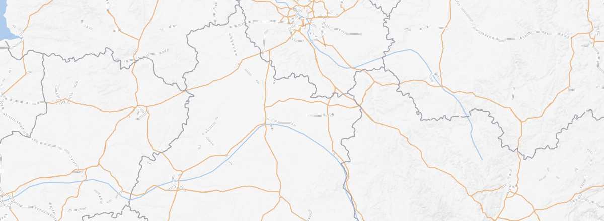 Loiret
Open the interactive map
Loiret
Open the interactive map
The Orléans region marks the start of the Loire Valley when heading west. There are plenty of beautiful châteaux (La Ferté, Sully-sur-Loire, etc.) to visit, as well as the Sologne area with its landscapes and walking trails.
Overview

Key Facts
- Type of place: department.
- Location:
- Department code: 45.
- Bordering departments:
- Prefecture: Orléans.
- Sub-prefectures: Montargis, Pithiviers.
- Number of communes: 326.
- Population: 669,737 inhabitants (2014).
- Area: 6,775 km².
- Density: 99 inhabitants/km².
- Highest point: 273 m.
- Lowest point: 66 m.
- Coastline: 0 km; no maritime access.
- Highlights (out of ): Nature ; Culture ; Relaxation-holidays /
- Website: https://www.tourismeloiret.com
Climate and Weather
Tourism
The Orléans region marks the start of the Loire Valley when heading west. There are plenty of beautiful châteaux (La Ferté, Sully-sur-Loire, etc.) to visit, as well as the Sologne with its landscapes and walking trails.