★ 3 · last edited Dec 11, 2019
Malakula
Location verified location
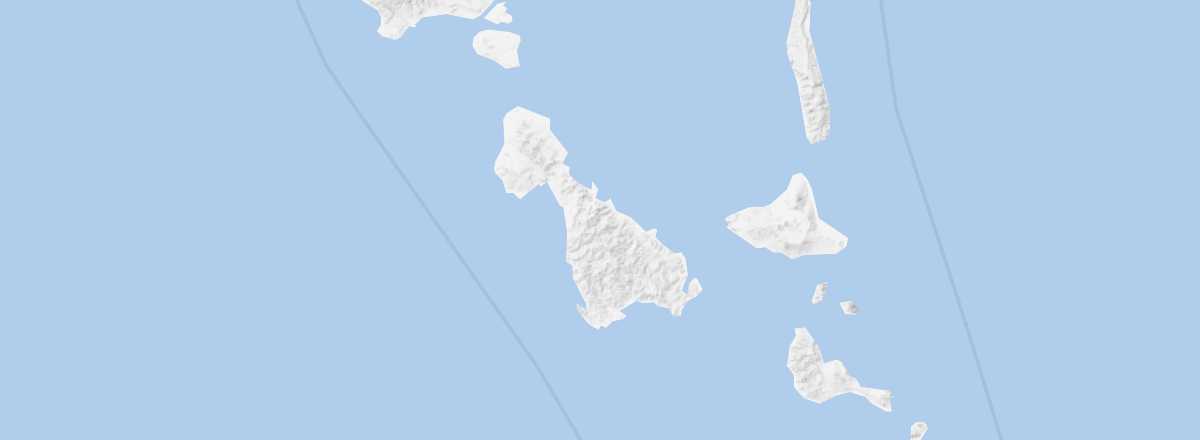 Malakula
Open the interactive map
Malakula
Open the interactive map
This is the most populated place in Malampa and the second-largest island in Vanuatu. Visitors come for its beaches and diving along the east/southeast coast (or the nearby Maskelyne Islands), as well as to trek through its mountainous and forested interior or discover local traditions.
Overview of Malakula
This is the most populated place in Malampa and the second-largest island in Vanuatu. Visitors come for its beaches and diving along the east/southeast coast (or the nearby Maskelyne Islands), as well as to trek through its mountainous and forested interior or discover local traditions.
Key Facts
- Type of place: island.
- Tourist interest: (recommended).
- Location:
- Local time:
- Main locality:
- Population: 22,934 inhabitants (2009).
- Area: 2,041 km².
- Density: 11 inhabitants/km².
- Highest point: 879 m.
- Coastline:
- Website: http://www.malekula.travel