★ 1 · last edited Dec 11, 2019
Nadi
Location verified location
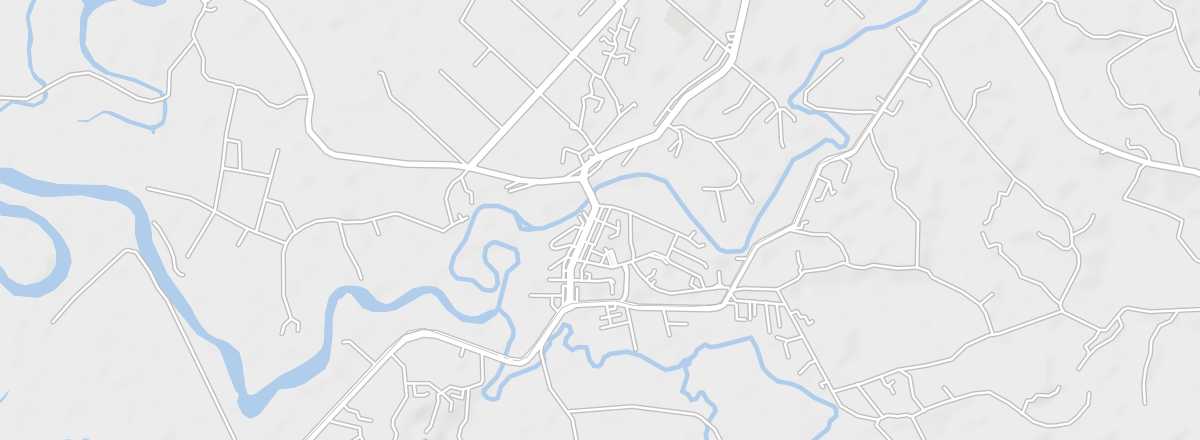 Nadi
Open the interactive map
Nadi
Open the interactive map
On the west coast, the third-largest urban area in Fiji is home to the international airport and offers several beaches nearby. However, the town primarily serves as a transit hub for visitors heading to hotels on the south coast, nearby Denarau Island, or departing for the Mamanuca archipelago.
Overview of Nadi
On the west coast of Viti Levu island, the third-largest urban area in Fiji is home to the international airport and offers several beaches nearby. However, the town primarily serves as a transit hub for visitors heading to hotels on the south coast (the "Coral Coast"), nearby Denarau Island, or departing for the Mamanuca Islands archipelago.
Key Facts
- Type of place: city.
- Tourist interest: (worth a stop if you are in the area).
- Location:
- Distances:
- Local time: .
- Population: 50,000 inhabitants (2012).
- Area:
- Altitude: 10 m.
- Website: www.fiji.travel/nadi/