★ 2 · last edited Dec 11, 2019
Neringa
Location verified location
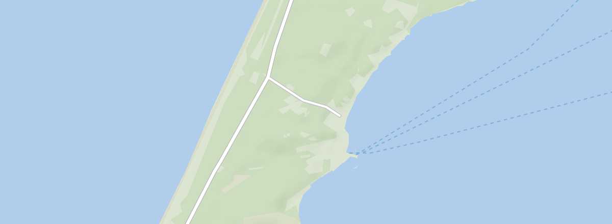 Neringa
Open the interactive map
Neringa
Open the interactive map
This is the collective name for the four villages (including Nida and Juodkrantė) built on the Curonian Spit.
Introduction to Neringa
This is the name given to the four villages (including Nida and Juodkrantė) built on the Curonian Spit.
Key Facts
- Type of place: group of municipalities.
- Tourist interest: (worth seeing).
- Location:
- Distances:
- Local time: .
- Population: 3,024 (2016).
- Area: 90 km².
- Altitude: sea level.
- Website: http://visitneringa.com/en
History of Neringa
What to See and Do in Neringa
In the Surrounding Area
Climate and Weather in Neringa
Transportation
Getting There
Getting Around
Accommodation
Dining
Useful Addresses
- == Additional Information