★ 1 · last edited Dec 11, 2019
North Dakota
Contributionsversion #1created Dec 11, 2019Report this pageLatest contributions in this guideContributors to this guide
Location verified location
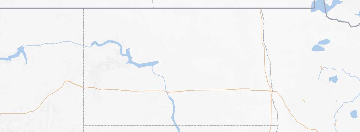 North Dakota
Open the interactive map
North Dakota
Open the interactive map
On the Canadian border, this vast agricultural state with a population of under a million is the least visited of all the United States. While its location and the lack of mainstream tourist sites largely explain this, this Native American land embodies the landscapes and environment of the Great Plains.
Overview
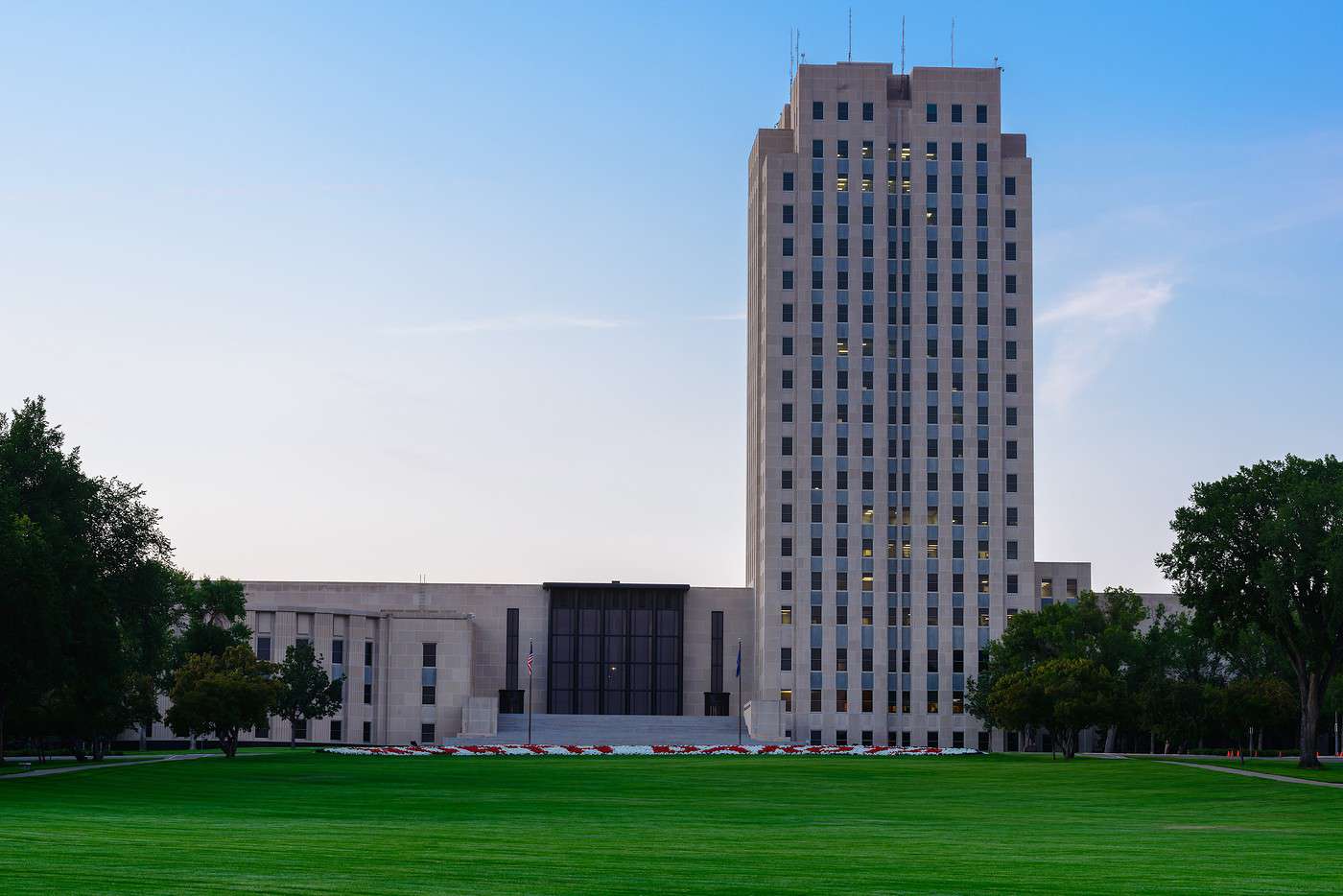
On the Canadian border, this vast agricultural state with harsh winters and a population of under a million is the least visited of all the United States. While its location and the lack of mainstream tourist sites largely explain this, this Native American land embodies the landscapes and environment of the Great Plains—though in some areas, this environment has been damaged in recent years by excessive shale gas extraction.
Key Facts
- Type of place: state.
- Location: in the "north-central" part of the country, on the border with Canada (Saskatchewan and Manitoba).
- Code: ND
- Entry into the Union: 1889 (39th).
- Local time: for most of the state, except the western/southwestern part, which is on Mountain Time.
- Capital: Bismarck.
- Main cities: Bismarck, Fargo, Grand Forks...
- Population: 757,000 inhabitants (2015).
- Area: 183,272 km².
- Density: 4 inhabitants/km².
- Highest point: White Butte (1,069 m).
- Lowest point: Red River (279 m).
- Coastline: 0 km.
- Interests (out of ): Nature-adventure ; Culture ; Relaxation-holidays .
- Website: