★ 3 · last edited Jul 1, 2020
Opal Coast
Location verified location
 Opal Coast
Open the interactive map
Opal Coast
Open the interactive map
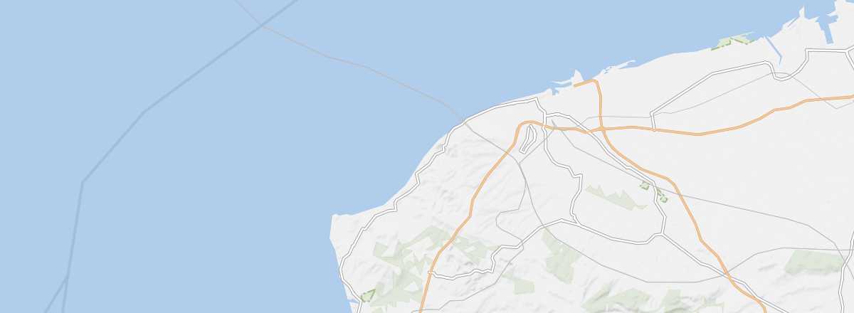
This is the coastal area with varied terrain (dunes, cliffs, marshes) that stretches from the Belgian border to the Somme department. It includes all the seaside towns of the former Nord-Pas de Calais region.
Overview of the coast
This is the coastal area with varied terrain (dunes, cliffs, marshes) that stretches from the Belgian border to the Somme department. It includes all the seaside towns of the former Nord-Pas de Calais region.
Key facts
- Tourist interest: (recommended).
- Location:
- Main towns: Berck, Boulogne, Calais, Dunkirk, Le Touquet...
- Length: 120 km.
- Population:
- Website: http://www.cote-dopale.com
History of the Opal Coast
Environment
Wildlife and flora
Precautions
What to see and do
In the surrounding area
Climate and weather
The Opal Coast has a "changeable" oceanic climate—mild, windy, and humid—with relatively low temperature variation, neither too cold in winter nor too hot in summer. Rainfall is spread throughout the year, peaking in autumn and winter. The best time to visit is from late May to mid-September.
Sea temperature throughout the year
| Jan. | Feb. | Mar. | Apr. | May | Jun. | Jul. | Aug. | Sep. | Oct. | Nov. | Dec. | |
|---|---|---|---|---|---|---|---|---|---|---|---|---|
| Opal Coast | 7 | 7 | 7 | 9 | 11 | 13 | 16 | 17 | 16 | 14 | 11 | 9 |