last edited Dec 11, 2019
Overview of South Australia
Location Map of South Australia
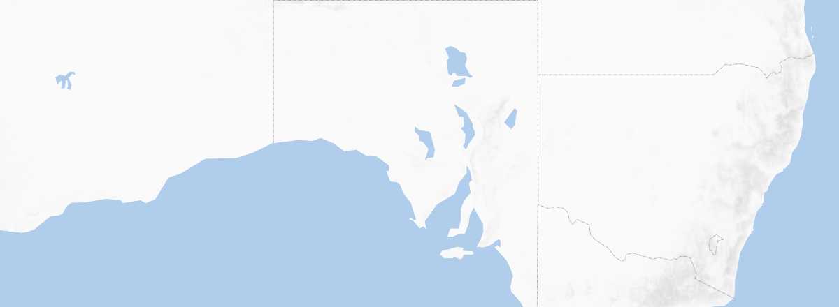 South Australia
Open the interactive map
South Australia
Open the interactive map
Overview
Key Facts
- Type of place: state.
- Location: in the "centre" of the southern part of Australia.
- Local time:
- Capital: Adelaide.
- Main cities: Adelaide, Mount Gambier, Murray Bridge, Port Augusta, Whyalla...
- Population: 1,706,500 inhabitants (2016).
- Area: 1,043,514 km².
- Density: 1.6 inhabitants/km².
- Highest point: Mount Woodroffe (1,435 m).
- Lowest point: Lake Eyre (-15 m).
- Coastline:
Tourism
This state, whose capital is Adelaide, isn’t widely considered the most "interesting" in the country. While it’s true that the areas around the city—particularly its peninsulas (including the Eyre Peninsula) and especially Kangaroo Island—have definite tourist appeal, much of the rest of the territory is desert and rather monotonous in many places. That said, those on their way to the "Red Centre" (home to the famous Ayers Rock) might still want to stop at the Flinders Ranges range or the underground city of Coober Pedy.
Travel Essentials
- By air: France-Adelaide.
- Daily backpacker budget:
- Best for accommodation:
- Best for getting around:
- Risks:
- Best time for climate/crowds/prices:
- Interests (out of ): Nature ; Adventure ; Culture ; Relaxation-holidays
- Website: