last edited Dec 11, 2019
Overview of West Papua
Location Map of West Papua
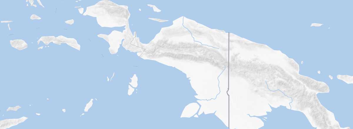 West Papua
Open the interactive map
Overview
Key Facts
- Type of place: tourist region.
- Location: the western part of the island of New Guinea, which belongs to Indonesia.
- Local time:
- Main cities: Jayapura, Manokwari, Merauke, Sorong, Timika, Wamena...
- Population: 4,364,000 inhabitants (2015).
- Area: 420,540 km².
- Density: 10 inhabitants/km².
- Highest point: Puncak Jaya (4,884 m).
- Lowest point: sea level.
- Coastline:
Tourism
Facing "independent" Papua, this wild, barely explored region—far from easy to travel—is made for nature lovers and off-the-beaten-path adventurers. Motivated travelers (and, admittedly, those with some means) can discover untamed landscapes in all their splendor, including the Lorentz National Park UNESCO site, Biak, and the Raja Ampat archipelago, as well as local populations with their strong cultures and traditions, such as in the Baliem Valley or the Asmat region.
Travel Essentials
- Destination: for slightly experienced/seasoned travelers.
- By air: France–Jayapura.
- Backpacker daily budget:
- Best for accommodation:
- Best for getting around:
- Risks:
- Best time for climate/crowds/prices:
- Highlights (out of ): Nature ; Adventure ; Culture ; Relaxation/holidays /
- Website: