★ 2 · last edited Jun 15, 2020
Parata Point
Location verified location
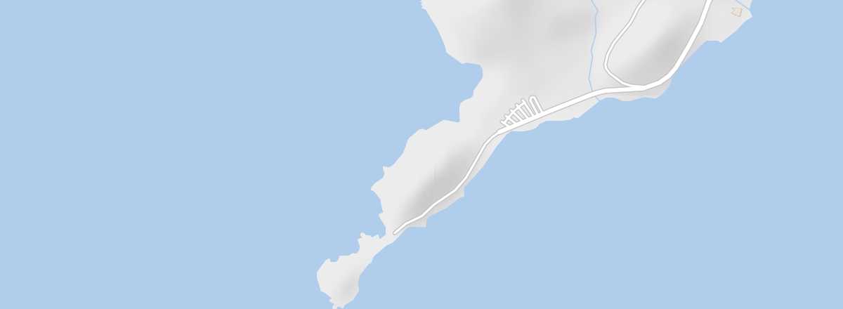 Parata Point
Open the interactive map
Parata Point
Open the interactive map
This is where the Route des Sanguinaires ends. This rocky promontory faces the namesake archipelago and is topped by the Parata Tower, built by the Genoese in 1608.
Overview of Parata Point
This is where the Sanguinaires Road ends. This rocky promontory faces the namesake archipelago and is topped by the Parata Tower, built by the Genoese in 1608.
Key details
- Type of place: cape.
- Tourist interest: (worth seeing).
- Location:
- Area:
- Highest point:
Environment of Parata Point
Wildlife and flora
Precautions
What to see and do
Nearby
Transport
Getting there
Getting around
Accommodation
Eating
- == Additional information