★ 2 · last edited Dec 11, 2019
Rarotonga
Location verified location
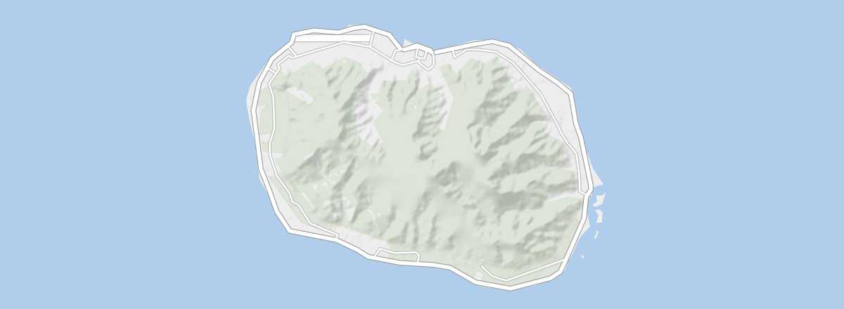 Rarotonga
Open the interactive map
Rarotonga
Open the interactive map
The main and most populated island of the Cook Islands, home to the capital Avarua. Its southern part offers great beaches and excellent swimming and diving spots. You can also hike inland through lush vegetation.
Overview of Rarotonga
The main and most populated island of the Cook Islands, with the capital Avarua. Its southern part offers great beaches and excellent swimming and diving spots. You can also hike inland through lush vegetation.
Key Facts
- Type de lieu: island.
- Intérêt touristique: (worth seeing).
- Localisation:
- Heure locale:
- Localité principale:
- Population:
- Superficie: 67.39 km².
- Densité:
- Point le plus haut:
- Littoral:
- Site internet: www.cookislands.org.uk