★ 1 · last edited Dec 11, 2019
Redon
Contributionsversion #1created Dec 11, 2019Report this pageLatest contributions in this guideContributors to this guide
Location verified location
 Redon
Open the interactive map
Redon
Open the interactive map
A sub-prefecture with a notable religious heritage (churches, abbey church, Saint-Sauveur Abbey).
Overview of Redon
Redon is a sub-prefecture with a notable religious heritage (churches, abbey church, Saint-Sauveur Abbey).
Key Facts
- Type of place: small town.
- Tourist interest: (worth a stop if you are in the area).
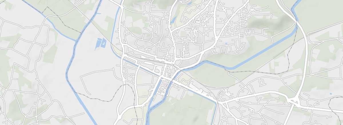
- Location: in the southwest of the Ille-et-Vilaine department.
- Distances: Nantes (60 km), Rennes (60 km), Vannes (50 km).
- Local time: .
- Population: 8,889 inhabitants (2016).
- Area: 15.09 km².
- Altitude:
- Website: http://www.tourisme-pays-redon.com
History of Redon
What to See and Do in Redon
This port town is primarily known for its small religious heritage, particularly the Saint-Sauveur Abbey Church.
Western Inland Waterways Museum
In the river port district. It brings together a collection of objects, models, photos, and testimonies from boatmen.
In the river port district. It brings together a collection of objects, models, photos, and testimonies from boatmen.
In the Surrounding Area
Nantes-Brest Canal
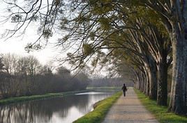
This small canal linking the two cities via southern Brittany is a tourist attraction. You can navigate it (in part) on small boats or explore it on foot or by bike along the towpaths.
This small canal linking the two cities via southern Brittany is a tourist attraction. You can navigate it (in part) on small boats or explore it on foot or by bike along the towpaths.
Climate and Weather in Redon
Transportation
Getting There
Getting Around
Accommodation
Food
Useful Addresses
Further Information
Worth a look / Other
Nantes-Brest Canal
★★ This small canal linking the two cities via southern Brittany is a tourist attraction. You can navigate it (in part) on small boats or…
Western Inland Waterways Museum
★ In the river port district. It brings together a collection of objects, models, photos, and testimonies from boatmen.