★ 2 · last edited Dec 11, 2019
Ruhr
Location verified location
 Ruhr
Open the interactive map
Ruhr
Open the interactive map
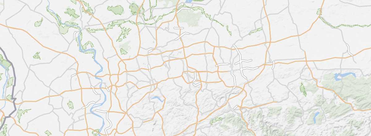
This region north of Cologne was long the heart of Germany’s mining industry. Industrial tourism is now offered here, with visits to mines (including the Zollern mine), industrial zones (Landschaftspark in Duisburg, Zollverein in Essen), slag heaps, working-class neighborhoods (in Oberhausen, Essen, Bochum...), and, conversely, bourgeois residences (the Krupp villa in Essen).
Overview of the Ruhr
This region north of Cologne was long the heart of German, even European, mining industry. Industrial tourism is now offered here, with visits to mines—including the Zollern mine—industrial zones (Landschaftspark in Duisburg, Zollverein in Essen), slag heaps, working-class neighborhoods (in Oberhausen, Essen, Bochum...), and, conversely, bourgeois residences (the Krupp villa in Essen).
Key Facts
- Type of place: secondary tourist region.
- Tourist interest: (worth seeing).
- Location:
- Local time:
- Main cities: Dortmund (600,000 inhabitants), Essen (590,000 inhabitants), Duisburg (500,000 inhabitants).
- Population: 5,118,681 inhabitants (2017).
- Area: 4,435 km².
- Highest point:
- Lowest point:
- Website: www.metropoleruhr.de/