★ 1 · last edited Dec 11, 2019
Saint-Gaudens
Location verified location
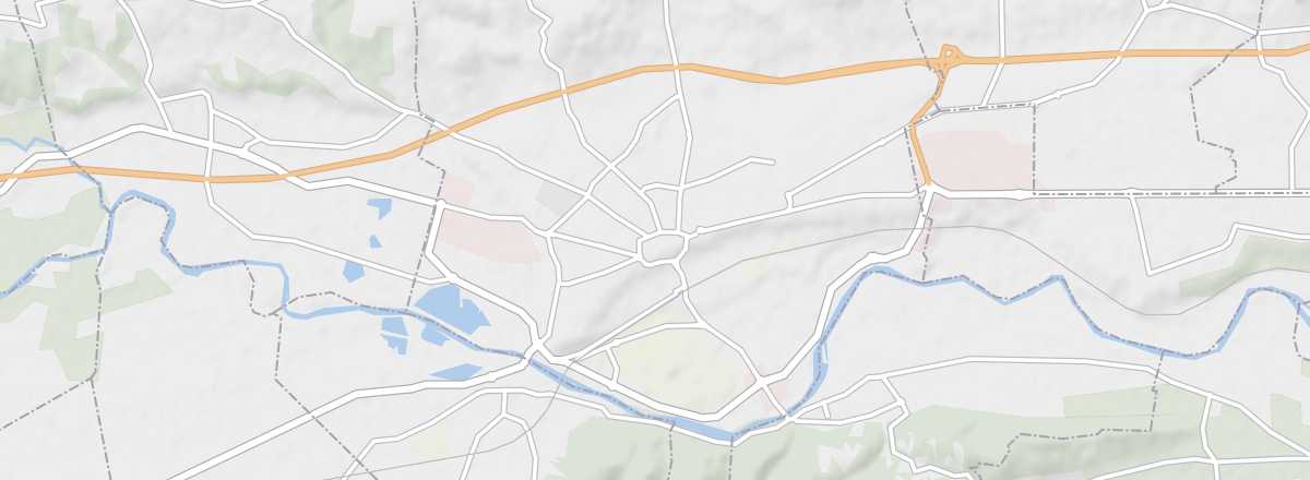 Saint-Gaudens
Open the interactive map
Saint-Gaudens
Open the interactive map
One of the two sub-prefectures of Haute-Garonne. It is located at the gateway to the Pyrenees in the southern part of the department.
Overview of Saint-Gaudens
Saint-Gaudens is one of the two sub-prefectures of Haute-Garonne. It is located at the gateway to the Pyrenees in the southern part of the department.
Key facts
- Type of place: small town.
- Tourist interest: (worth a stop if you are in the area).
- Distances:
- Local time: .
- Population: 11,255 inhabitants (2014).
- Area: 33.18 km².
- Altitude: from 338 to 558 m.
- Website: https://www.tourisme-stgaudens.com