★ 2 · last edited Dec 11, 2019
Samar
Location verified location
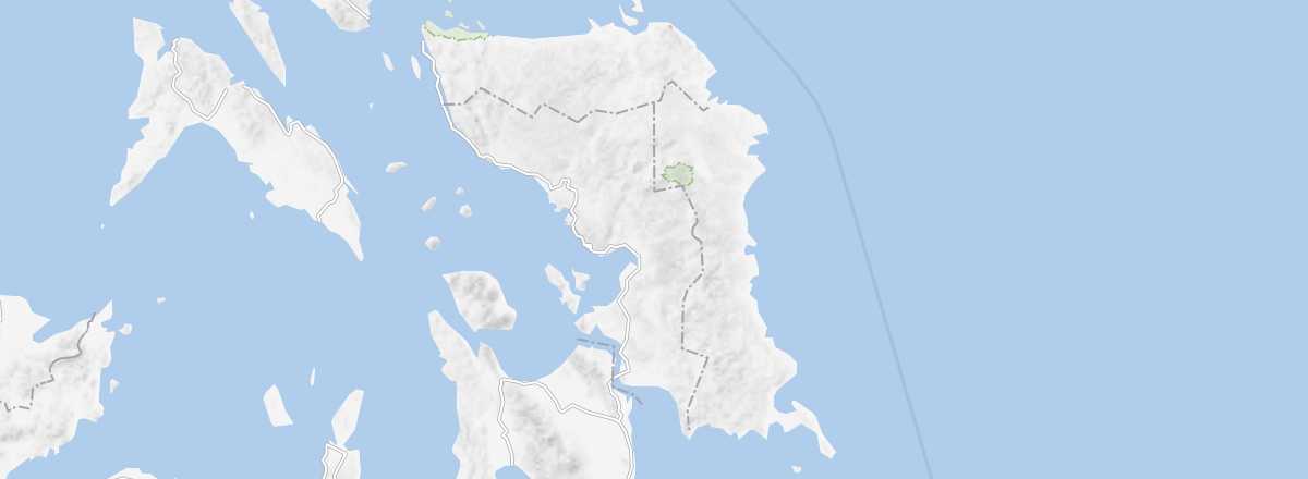 Samar
Open the interactive map
Samar
Open the interactive map
Connected to the island of Leyte by the San Juanico Bridge, this large mountainous island offers beautiful beaches along its coast and countless diving spots. Inland, you can explore numerous waterfalls, trekking routes, and especially caves and underground rivers.
Overview of Samar
Connected to the island of Leyte by the San Juanico Bridge, this large mountainous island offers beautiful beaches along its coast and countless diving spots. As for the interior, you can discover numerous waterfalls, trekking routes, and especially caves and underground rivers.
Key Facts
- Type of place: island.
- Tourist interest: (worth seeing).
- Location:
- Local time:
- Main locality:
- Population: 1,751,267 inhabitants (2012).
- Area: 13,428.8 km².
- Highest point: Mount Huraw (850 m).
- Coastline: