★ 2 · last edited Dec 11, 2019
Tahiti
Contributionsversion #1created Dec 11, 2019Report this pageLatest contributions in this guideContributors to this guide
Location verified location
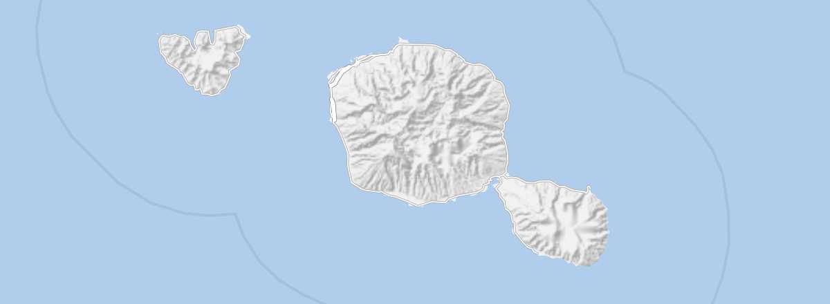 Tahiti
Open the interactive map
Tahiti
Open the interactive map
This is the main island of Polynesia, home to its "capital" (Papeete), the international airport, and over half of the Polynesian population. For tourists, the island mainly serves as a gateway, though it offers beaches, surfing and diving spots, some stunning mountainous landscapes, and various archaeological sites dating from before the arrival of Europeans.
Overview of Tahiti
This is the main island of Polynesia, home to its "capital" (Papeete), the international airport, and over half of the Polynesian population. For tourists, the island mainly serves as a gateway, though it offers beaches, surfing and diving spots, some stunning mountainous landscapes, and various archaeological sites dating from before the arrival of Europeans.
Key Facts
- Type of place: island.
- Tourist interest: (worth seeing).
- Location:
- Local time:
- Main locality: Papeete
- Population: 189,517 (2017).
- Area: 1,042 km².
- Density: 176.24 inhabitants/km².
- Highest point: Mount Orohena (2,241 m).
- Coastline: 132 km.
- Website: https://tahititourisme.fr/
History of Tahiti
Island Environment
Wildlife and Flora
Precautions
What to See and Do in Tahiti
Papeete
It is the administrative capital of French Polynesia, housing the main services and infrastructure of the Territory. While not particularly touristy in itself, the city remains an almost obligatory stop for any visitor.
It is the administrative capital of French Polynesia, housing the main services and infrastructure of the Territory. While not particularly touristy in itself, the city remains an almost obligatory stop for any visitor.
In the Surrounding Area
Climate and Weather in Tahiti
Transportation
Getting There
Getting Around
Accommodation
Food
Useful Addresses
Additional Information
Worth a look / Other
Papeete
★ It is the administrative capital of French Polynesia, housing the main services and infrastructure of the Territory. While not particularly…