★ 2 · last edited Dec 11, 2019
Trace Route
Location verified location
 Trace Route
Open the interactive map
Trace Route
Open the interactive map
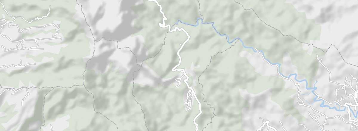
This is a scenic route of about thirty kilometers starting from Fort-de-France, which can also be explored on foot via parallel hiking trails.
Overview of the Trace Route
This is a scenic route of about thirty kilometers (the N3) starting from Fort-de-France, which can also be explored on foot via parallel hiking trails.
Key Points
- Type of place: scenic route.
- Tourist interest: (worth seeing).
- Theme: forest road or trail.
- Location: from Fort-de-France to Morne-Rouge.
- Local time:
- Main localities:
- Length: 29 km
- Altitude:
- Website: