★ 4 · last edited Dec 11, 2019
Upper Svaneti
Location verified location
 Upper Svaneti
Open the interactive map
Upper Svaneti
Open the interactive map
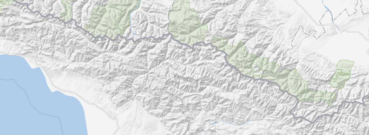
In the northwest of the country, bordering Russia, Upper Svaneti is a stunningly isolated region of forests and high mountains, with deeply rooted traditions. It attracts visitors for its landscapes, hiking, and mountaineering, as well as its small villages (including Ushguli), churches, and fortified structures, which have earned it UNESCO recognition.
Overview of Upper Svaneti
In the northwest of the country, bordering Russia, Upper Svaneti (distinct from neighboring Lower Svaneti) is a stunningly isolated region of forests and high mountains, with deeply rooted traditions. It attracts visitors for its landscapes, hiking, and mountaineering, as well as its small villages (including Ushguli), churches, and fortified structures, which have earned it UNESCO recognition.
Key Facts
- Type de lieu: secondary tourist region.
- Intérêt touristique: (must-see or highly recommended).
- Localisation:
- Heure locale:
- Ville principale: Mestia.
- Population:
- Superficie:
- Point le plus haut:
- Point le plus bas:
- Littoral: no coastal access.
- Site internet: www.visitgeorgia.ge/svaneti/