★ 2 · last edited Dec 11, 2019
Vágar
Location verified location
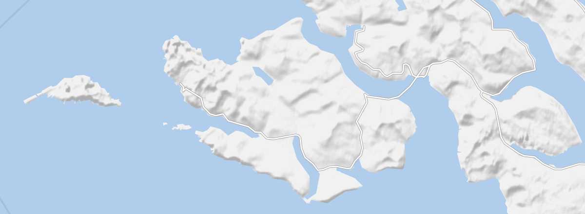 Vágar
Open the interactive map
Vágar
Open the interactive map
This is where the international airport is located. The typical landscapes of the Faroe Islands are complemented on Vágar by the archipelago's two largest lakes, including Sorvagsvatn, which is highly photogenic as it sits on the edge of a cliff overlooking the sea.
Overview of Vágar
This is where the international airport is located. The typical landscapes of the Faroe Islands are complemented on Vágar by the archipelago's two largest lakes, including Sorvagsvatn, which is highly photogenic as it sits on the edge of a cliff overlooking the sea.
Key Facts
- Type of place: island.
- Tourist interest: (worth seeing).
- Location:
- Local time:
- Main locality:
- Population: 3,192 inhabitants (2018).
- Area: 176 km².
- Highest point: 722 m.
- Coastline:
- Website: http://visitvagar.fo/
History of Vágar
Island Environment
Wildlife and Flora
Precautions
What to See and Do on Vágar
In the Surrounding Area
Climate and Weather on Vágar
Transportation
Getting There
Getting Around
Accommodation
Dining
Useful Addresses
- == Further Information